Tropical Storm Rachel Nears Hurricane Strength Off Mexico’s Pacific Coast
Updated 1 times · Latest: 29 September 2026
A second named storm in the same week sounds like escalation. The forecast says something more specific: Rachel is getting stronger, but its center is expected to stay at sea. For the coast between Acapulco and Puerto Vallarta the practical risks are rain in the hills and currents on the beaches — not a Polo-style landfall. Here is what is warned, what is likely, and what is still unknown.
Key Facts
- The system Rachel is the seventeenth named storm of the 2026 eastern Pacific season. It formed on Sunday 27 September south of Acapulco and has strengthened steadily since.
- The warnings A tropical storm warning covers Punta San Telmo to Playa Perula; a watch runs north to Cabo Corrientes. Tropical-storm conditions are expected in the warning area later on Tuesday.
- The track The forecast keeps Rachel’s core offshore, parallel to the coast of Guerrero, Michoacán and Colima, with a gradual turn northwest and a slower pace later this week.
- The rain Three to six inches (75–150 mm) are forecast along the coasts of Guerrero, Michoacán and Colima, with isolated totals of eight inches (200 mm) — flooding and mudslides are possible in steep terrain.
- The surf Swells from Rachel reach the southwestern coast first and spread north through midweek. Rip currents are the main beach danger, including outside the warning area.
- The context Rachel follows Hurricane Polo, which crossed Baja California Sur overnight and reached mainland Sonora on Tuesday morning. Rachel may later cross Polo’s cooler wake, which could cap its strength.
Where Rachel Is and Where It Is Going
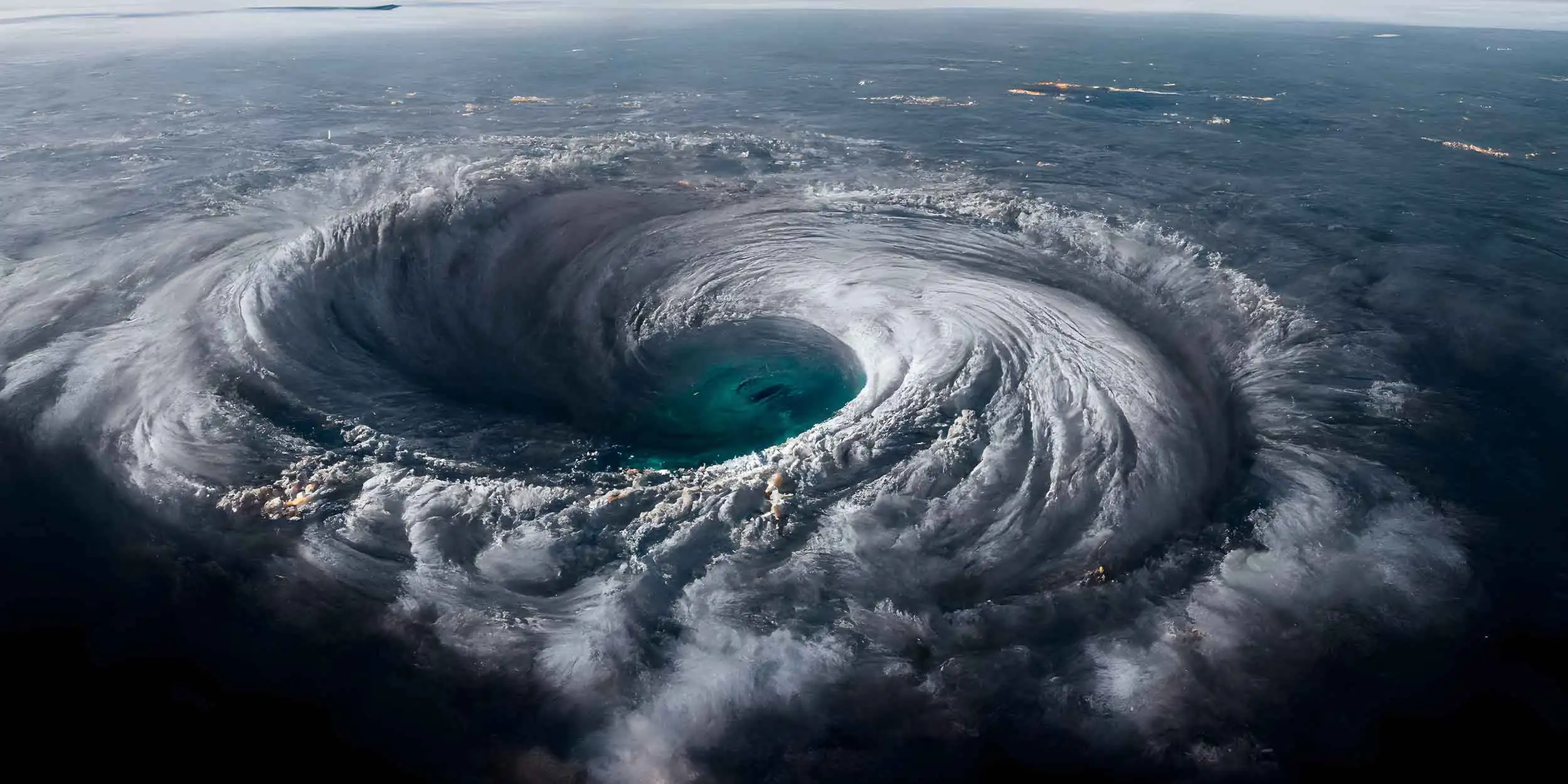
At midnight CST on Tuesday 29 September, the National Hurricane Center placed Rachel’s center about 300 miles (485 km) west-southwest of Acapulco, moving west-northwest at 12 mph (19 km/h). Maximum sustained winds are 60 mph (95 km/h), and the central pressure measured by a NOAA Hurricane Hunter aircraft is 992 millibars. Gradual strengthening is forecast, and Rachel is expected to reach hurricane status during the next day or so.
The track matters more than the category. A ridge of high pressure over Mexico is steering Rachel parallel to the coast, and the NHC expects the core to remain offshore. Tropical-storm-force winds extend up to 160 miles (260 km) from the center — wide enough to touch the shoreline even without landfall. Late in the week, a weakness in the ridge is forecast to slow Rachel down well southwest of the Baja California peninsula. There is also a natural brake: Rachel may cross the cooler water left behind by Hurricane Polo, which forecasters say could limit further strengthening.
What the Warning Covers
Mexico’s alert map for Rachel is narrower than it was for Polo. The tropical storm warning runs from Punta San Telmo in Michoacán to Playa Perula on the Michoacán–Colima line, where tropical-storm conditions are expected later on Tuesday. The watch extends from Playa Perula north to Cabo Corrientes in Jalisco, the headland just south of Puerto Vallarta, where those conditions are possible by Tuesday night or Wednesday.
A warning means conditions are expected within 36 hours; a watch means they are possible within about 48. For residents this is the level at which ports typically restrict small craft and municipalities ready shelters — preventive steps, not evacuations.
Rain, Not Wind, Is the Main Risk on Land
The NHC forecasts 3 to 6 inches (75–150 mm) of rain for the coastal strips of Guerrero, Michoacán and Colima, with isolated totals of 8 inches (200 mm). That is enough for flash flooding and mudslides in the Sierra Madre del Sur foothills, where September rain has already saturated slopes. If your week includes Highway 200 between Acapulco and Manzanillo, the road, not the forecast wind map, is the thing to check before each leg.
What It Means for Expats and Travelers
Acapulco and Zihuatanejo sit east of the warning area; the effects there are rain bands and rough surf. Manzanillo and the Costalegre are inside or near the warning zone, where port restrictions and school decisions are typically the first visible steps. Puerto Vallarta is inside the watch logic: expect rough seas and possible schedule changes on the water rather than a direct hit this week. Beach plans anywhere between Acapulco and Banderas Bay should treat rip currents as the main hazard through midweek, including on days when the sun is out.
Two Storms in One Week
Rachel arrives while Mexico is still absorbing Hurricane Polo, which crossed Baja California Sur overnight and made its second landfall on the Sonora mainland on Tuesday morning as a hurricane with 115 mph (185 km/h) winds. Sonora suspended classes in all 72 municipalities for Tuesday and Wednesday, and Mexican media reported a storm surge breaching the sea barrier at Puerto San Carlos in Baja California Sur. The two systems are separate, but they share one coastline’s attention — and Rachel’s future intensity is partly tied to Polo’s leftover cool water. The broader pattern is seasonal: late September is the statistical peak of the eastern Pacific hurricane season, and stacked storms in the same corridor are a known feature of active years.
What We Could Not Confirm
Whether the ports of Manzanillo or Lázaro Cárdenas have restricted navigation specifically because of Rachel; Acapulco’s port had closed to small boats during Polo.
Any airline waivers or flight cancellations linked to Rachel; airports along the corridor were operating normally during Polo’s passage.
School suspensions in Guerrero, Michoacán or Colima tied to Rachel; such decisions are made at state and municipal level and were not yet announced at the time of writing.
Whether Rachel turns toward Baja California late this week; the NHC forecast beyond 72 hours carries what the center itself calls uncertainty, partly because of Polo’s cool wake.
Sources
- US National Hurricane Center — Tropical Storm Rachel intermediate advisory 8A, 12 a.m. CST 29 September 2026 (position, intensity, watches and warnings, rainfall, surf)
- US National Hurricane Center — Tropical Storm Rachel advisory 3 and forecast discussion, 3 p.m. CST 27 September 2026 (season count, hurricane forecast, cool-wake analysis)
- US National Hurricane Center — Hurricane Polo advisory 34, 29 September 2026 (second landfall context)
- The Rio Times desk reporting, 27–29 September 2026
More: Mexico news in English, every day from The Rio Times. For Hurricane Polo’s landfall and aftermath, see our Polo coverage for expats and travelers.
Frequently Asked Questions
Will Tropical Storm Rachel make landfall in Mexico?
The current NHC forecast keeps Rachel’s center offshore, moving parallel to the coast of southwestern Mexico. No landfall is forecast. What the coast will feel, tropical-storm-force gusts between Punta San Telmo and Playa Perula, heavy rain and dangerous surf, arrives even without the center crossing land. A shift in the steering ridge could change the track later this week, which is why the NHC issues full advisories every six hours.
I have a beach holiday in Puerto Vallarta or Manzanillo this week. Should I cancel?
Not automatically. Puerto Vallarta is under a tropical storm watch, not a warning, and Rachel’s core is forecast to stay at sea. The practical changes are likely to be closed beaches, cancelled boat tours and rescheduled water activities through midweek, plus heavy rain showers. Recheck conditions against each NHC advisory, full advisories run at 3 a.m., 9 a.m., 3 p.m. and 9 p.m. CST, and follow your hotel’s and municipality’s instructions on the day.
Is it safe to swim on the Guerrero or Colima coast this week?
Assume no, even on calm-looking days. The NHC expects swells from Rachel to produce life-threatening surf and rip currents along the southwestern coast, spreading north through midweek. Rip currents are the leading storm-related killer because they persist far from the storm’s center. Follow local beach flag systems, and when in doubt, stay out of the water.
How unusual are two named storms affecting Mexico in one week?
Not unusual in an active September. Late September is the statistical peak of the eastern Pacific season, and the season officially runs through November. Rachel is already the seventeenth named storm of 2026. What is less common is the pairing with a major hurricane like Polo in the same corridor. Forecasters note that Polo’s passage cooled the surface water Rachel is heading toward, which may limit how strong Rachel can become.
This article was produced by The Rio Times’ automated AI newsroom. Editorial responsibility: Matthias Camenzind, Publisher and Editor-in-Chief. The Rio Times also runs Ask Rio Times, which answers from 100,000+ of our own articles, the daily Latin America Power Map, and prediction-market odds on elections and markets.. How we use AI · Report an error
Expat Guide to Mexico
What The Rio Times publishes for foreigners who live in or move to Mexico.
Start here
- Mexican Peso Falls Past 18.40 on Central Bank Minutes
- Crocodiles in Puerto Vallarta Safety Guide
- Mexico Security and Crime Explained 2026
- Mexico Visa Options 2026 Explained
City guides
Mexico City, Playa del Carmen, Tulum, Puerto Vallarta, Mérida, Oaxaca, San Miguel de Allende, Guadalajara, Monterrey, Cancún
Coming up in Mexico
- Baja 1000 Starts in Los Cabos on 13 November 13 Nov
- Festival Internacional del Globo León: Dates, Tickets and Guide 13 Nov
- What to Do in Cancún in November 2026: Concerts and Theatre 14 Nov
- Puerto Vallarta Half Marathon on 15 November 15 Nov
Understand Mexico