SOUTH AFRICA · WEATHER
South Africa’s national weather forecaster has warned of severe thunderstorms in western KwaZulu-Natal on Saturday 14 November 2026, with flooding possible in inland towns of the province (KZN). The South African Weather Service (SAWS) issued an orange Level 5 warning on Friday 13 November, valid from 13:00 local time (11:00 UTC, 6 a.m. Eastern Time).
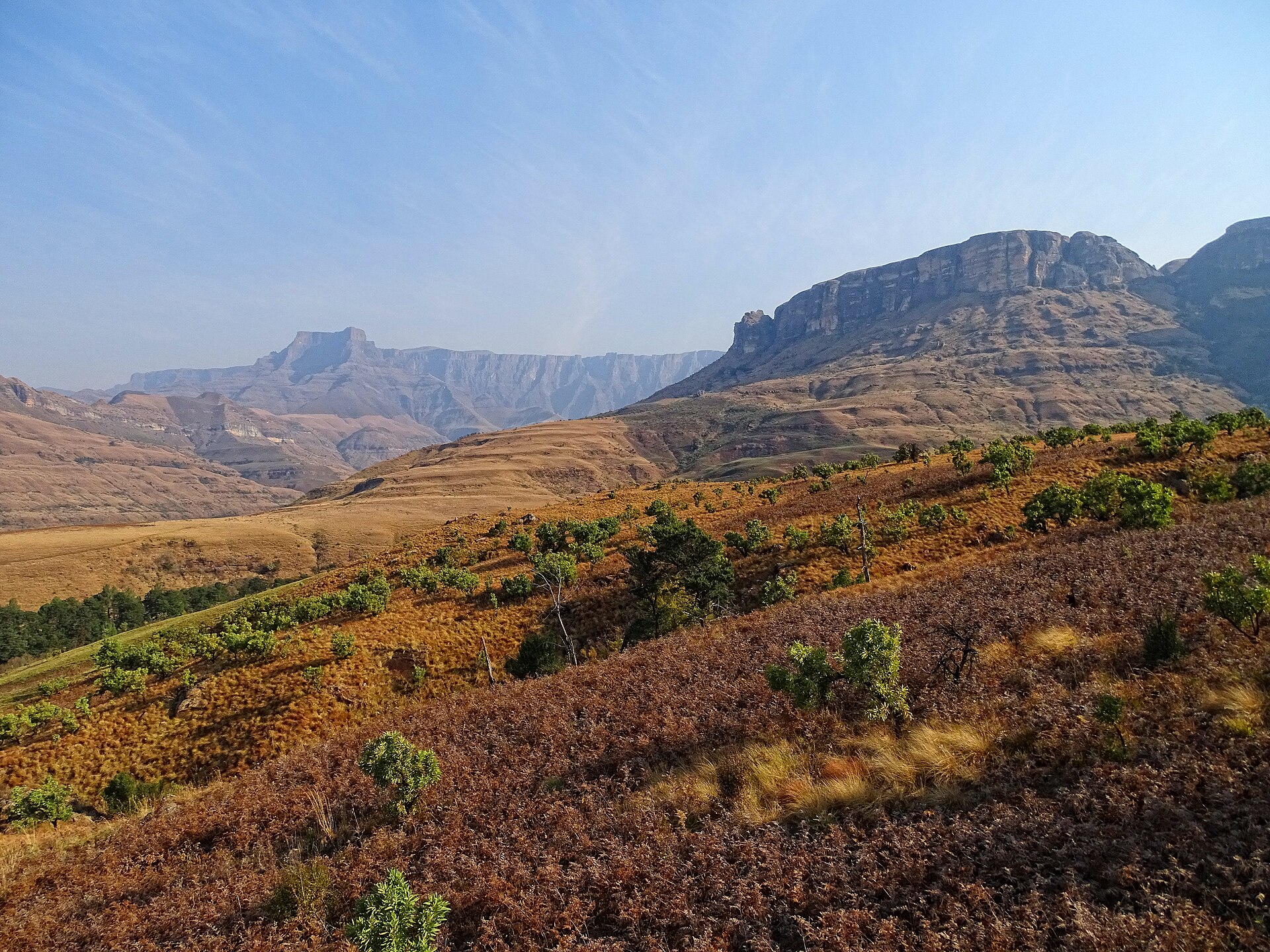
KwaZulu-Natal is the province on South Africa’s east coast that includes the port city of Durban and the Drakensberg mountains. A lower-level warning for disruptive rain covers parts of the east of the province.
Key Facts
- What Orange Level 5 warning for severe thunderstorms and possible flooding in western KwaZulu-Natal.
- Where Inland towns including Howick, Ladysmith and Newcastle, plus the east of the Free State province and the Mpumalanga Highveld plateau.
- When Saturday 14 November 2026, from 13:00 South African time (11:00 UTC) until late evening.
- Also A lower-level warning for disruptive rain covers parts of eastern KwaZulu-Natal.
- Dangers Flooded settlements, fast-flowing rivers, mudslides and falling rocks.
The warning starts at 13:00 local time on Saturday.
What the Warning Says
SAWS rates weather warnings by colour, from yellow through orange to red, and by an impact level. Orange is the middle of the three colour bands, and Level 5 is its impact level.
The Level 5 warning covers western KwaZulu-Natal, the far east of the Free State province and the Mpumalanga Highveld, the high inland plateau. Inland towns such as Howick, Ladysmith and Newcastle, towns in the province’s inland west, fall inside the KwaZulu-Natal zone.
What Could Go Wrong
SAWS says the storms could flood settlements and force people from their homes. It also warns that fast-flowing rivers can endanger life, and that mudslides, falling rocks and soil erosion are possible in affected areas.
A lower-level warning for disruptive rain covers parts of eastern KwaZulu-Natal, where heavy downpours could lengthen travel times. SAWS advises people in affected areas to stay indoors and off the roads where possible.
What It Means for You
People in the inland towns and the mountains are the most exposed, because the Level 5 zone covers western KwaZulu-Natal. Parts of the east are under a lower-level rain warning.
SAWS publishes its current warnings at weathersa.co.za, and municipalities issue notices for their own areas. For South Africa’s other stories, see our South Africa news page.
What Is Not Known
Published end times for the Level 5 warning differ, from 22:59 to midnight on Saturday, and we could not confirm which is correct. We also found no confirmed reports of damage or casualties, and no confirmed extension of the warning to Sunday.
Frequently Asked Questions
What is the weather warning for KwaZulu-Natal on 14 November?
SAWS has an orange Level 5 warning for severe thunderstorms in western KwaZulu-Natal, valid from 13:00 on Saturday 14 November 2026. A lower-level warning for disruptive rain covers parts of the east.
Which KwaZulu-Natal towns are in the Level 5 zone?
Inland towns such as Howick, Ladysmith and Newcastle fall inside it. The warning also covers the far east of the Free State and the Mpumalanga Highveld.
Where can I check weather updates in South Africa?
SAWS publishes its current warnings at weathersa.co.za. Local municipalities issue notices for their own areas.
Read more: Durban’s jobless rate fell 5.6 points in a year
Sources
South African Weather Service, impact-based severe weather warnings for 14 November 2026: weathersa.co.za.
This article was produced by The Rio Times’ automated AI newsroom. Editorial responsibility: Matthias Camenzind, Publisher and Editor-in-Chief. The Rio Times also runs Ask Rio Times, which answers from 100,000+ of our own articles, the daily Latin America Power Map, and prediction-market odds on elections and markets.. How we use AI · Report an error