São Paulo Issues Storm Alert, Opens Crisis Cabinet

BRAZIL · WEATHER
Key Facts
- —The warning São Paulo state’s Civil Defense has issued a severe-storm alert for Friday 11 and Saturday 12 September, including hail, destructive gusts and isolated tornadoes.
- —The cabinet A crisis cabinet will operate at the state’s Emergency Management Center from 2 p.m. Friday until Saturday afternoon.
- —The driver An extratropical cyclone forming off southern Brazil will destabilize the atmosphere across the entire state.
- —Highest risk Western São Paulo state, plus the Marília, Itapeva and parts of the Sorocaba regions, concentrate the severe-storm potential.
- —Peak window Friday afternoon and evening through Saturday morning is the period of greatest concern.
- —Events Organizers of outdoor events are told to reassess stages, tents and bleachers — and consider postponement.
Live tonight
Brazil’s runoff, live
The official TSE count for Flávio Bolsonaro and Lula, updated every 20 minutes from 5 p.m. Brasília (4 p.m. ET).
Brazil runoff polls · Polymarket and Kalshi odds · When results come · Brazil election poll data (CSV)
Prediction markets · who wins the runoff
Implied chance of winning Brazil’s presidency on 25 October, from traders’ prices.
Polymarket
Flávio Bolsonaro 0.1% · Lula 99.9% (US$238 million traded)
Kalshi (regulated in the US by the CFTC)
Flávio Bolsonaro 0.4% · Lula 99.8%
As of 25 October, 8:20 pm ET (00:20 Lisbon), updated every 20 minutes. Prices are bets, not polls, and can move fast.
Why we show this: prediction markets turn real-money bets into a live probability that moves within minutes of the news, which is why investors, campaigns and newsrooms in the United States now follow them closely. We show them next to polls and official results, never instead of them.
Brazil’s richest state is bracing for 36 hours of violent weather — and moving its entire emergency apparatus into one room to face it.
The São Paulo storm alert issued on Thursday, 10 September, is the state’s most serious weather warning of the spring so far: the state Civil Defense expects severe thunderstorms between Friday and Saturday, with hail, lightning, microbursts and, in isolated areas, tornadoes.
The Rio Times reported this morning on the supercell system sweeping Paraná and São Paulo states. By Thursday afternoon the focus had shifted from forecast to mobilization: Governor Tarcísio de Freitas’s administration convened every one of the state’s 645 municipalities, along with state secretariats, for a 2 p.m. briefing on the meteorological scenario and the role of each agency.
Crisis Cabinet from Friday Afternoon
The centerpiece of the response is a Gabinete de Crise — a physical crisis cabinet that opens at 2 p.m. on Friday inside the state’s Emergency Management Center (CGE) and will run continuously until Saturday afternoon. It will seat the fire department, the military police, the water utility Sabesp’s state counterpart SP Águas, the transport and highway agencies Artesp and DER, the regulatory agency Arsesp, and the concessionaires operating electricity, water, gas and telephone networks.
The purpose is speed. Rather than coordinate by phone tree during a fast-moving storm, the agencies will share one room, integrate information in real time and shorten the path from incident to decision — whether that means dispatching rescue teams, closing a highway or rerouting power crews.
Preparation began before the cabinet convenes. Civil Defense said it has reinforced its humanitarian logistics depots and placed response teams on standby so municipalities hit by the worst cells can be assisted within hours. Colonel Araújo Monteiro, the state Civil Defense coordinator, framed the posture as preventive: the public, he said, should seek a safe place during the storm and follow official alerts.
What Is Expected and Where
The trigger is an extratropical cyclone expected to form off Brazil’s southern coast, which will inject instability across São Paulo state. Forecasters see the highest potential for severe storms in the west of the state — the Presidente Prudente region — and in the Marília, Itapeva and parts of the Sorocaba regions. In the south of the state, alerts mention wind gusts above 100 km/h and a tornado risk.
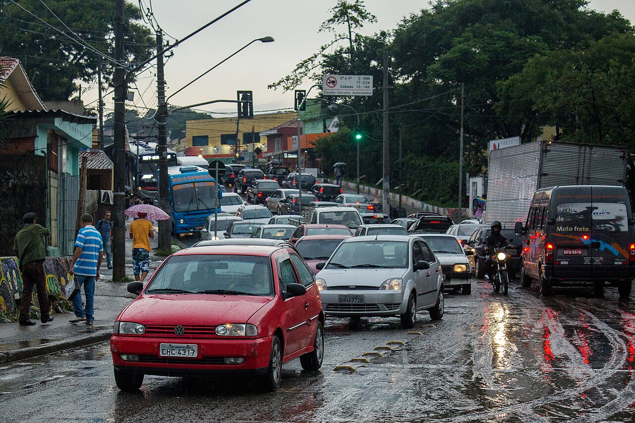
The most dangerous window runs from Friday afternoon and evening into Saturday morning, when atmospheric conditions will be most favorable for storms to form and intensify. The capital is not exempt: the city of São Paulo entered a flooding state of attention on Thursday as dark afternoon clouds turned day to night, and the cold front is expected to keep Greater São Paulo wet and closed-in through Saturday.
Events and Infrastructure on Notice
Civil Defense’s guidance goes beyond households. Organizers of outdoor events scheduled for the period are told to reassess the safety of stages, tents, roofing, grandstands, lighting rigs and temporary panels, and to define evacuation procedures in advance. Depending on how conditions evolve, the recommendation is to change schedules, move events indoors, postpone or suspend them preventively.
For the public, the advice is the standard severe-weather drill: shelter in a solid building, stay away from open areas, trees, poles, towers and metal structures, keep clear of windows during hail, and never cross flooded streets, bridges or underpasses. Monitoring will run on radar, satellite, lightning-detection networks and surface observations, with alert zones updated as the storms evolve.
Why the State Is Moving Early
Spring is Brazil’s severe-convection season, when clashing tropical heat and southern cold fronts routinely spawn supercells over the country’s most populous corridor. São Paulo state has learned the cost of being surprised: flash floods, falling trees and blackouts can paralyze a metropolis of 22 million within an hour, and past tornado events in the interior have left towns rebuilding for months.
Standing up a crisis cabinet a day ahead of the first storms is the state’s answer to that math. It concentrates authority before roads flood and lines go down, and it puts the utilities that restore power and water at the same table as the agencies that rescue people. Whether the worst cells materialize over the west of the state or drift toward the coast, the next 36 hours will test how much that preparation is worth. Civil Defense says it will keep updating the alert zones as radar data comes in through the weekend.
More: Brazil news, every day from The Rio Times.
This article was produced by The Rio Times’ automated newsroom system. How we use AI · Report an error · Editorial responsibility: Matthias Camenzind, Editor-in-Chief
Living in or visiting São Paulo? See this month's events and our São Paulo city guide with rents, safety and upcoming concerts.