
MEXICO · BORDER
Key Facts
- The country Mexico is the United States’ southern neighbor, and the Rio Grande, called the Río Bravo in Mexico, forms 1,255 miles of their border.
- Why it matters A treaty dispute over nine river islands tests who decides the border between two countries that trade heavily, and whether a US state can act on it.
- Why now Mexico’s foreign ministry answered on 30 October 2026, four days after Texas announced its nine-island claim on 26 October.
- What happened Mexico replied that the border cannot be modified by a state government and that a binational commission decides which side of the line each island lies on.
- The numbers Nine islands covering roughly 66 acres are in dispute, and the treaty requires the commission to resurvey the line at intervals of no more than ten years.
- What it means for you The treaty’s own process, not a state land office, decides the line, which matters for border security operations, riverfront property and US-Mexico trade.
- Still open Whether the border commission will review the nine islands, and what Washington’s position is, is not yet known.
- Power Index Mexico ranks 2nd of 14 in The Rio Times Latin America Power Index, with 71.4 points (October 2026 edition).
Mexico’s foreign ministry (SRE) stated on Friday 30 October 2026 that the border between Mexico and the United States cannot be modified by the decision of a state government, rejecting a claim by Texas to nine islands in the Rio Grande. The note, numbered 015/2026, says the 1970 boundary treaty sets the line and that the binational International Boundary and Water Commission, not Texas, decides which side of it each island lies on.
Texas announced its claim on Monday 26 October, as set out above, and the Mexican note answered four days later without naming any Texas official or any individual island. It commits Mexico to monitor any action in the area and to keep talking with Washington, which sets out the formal Mexican position in a dispute that could shape how US state agencies treat the river border.
What Texas Did
The decision rests on two letters dated 26 October from Land Commissioner Dawn Buckingham, one to Major General Thomas Suelzer of the Texas Military Department (TMD) and one to Colonel Freeman Martin of the Department of Public Safety (DPS). Both letters say the GLO received a request from US Customs and Border Protection (CBP) about 28 islands in the river whose ownership had not been established.
After reviewing historical records, surveys and other information, the GLO concluded that nine of the 28 islands are owned by the State of Texas. The letters tell the two agencies they may enter the islands “for the purpose of maintaining operational security of our southern border,” with every operation conducted under applicable state and federal law.
In the release, Buckingham called the ownership of the islands uncertain for years and said “Texas land will never become a safe haven for cartels, human traffickers, smugglers, or other criminal organizations.” The letters add that the office has not confirmed criminal activity on the nine islands, pointing instead to past experience elsewhere on the river.
The Nine Islands on the Map
A map attached to the letters names the islands, among them Nixon Island at 21.7 acres, McKendricks Island at 18.4 acres, Zachary Island at 12.5 acres and Clark Island at 3.6 acres. The smallest, Miller Island, covers 0.5 acres, and the GLO puts the nine together at roughly 66 acres, about the size of 50 football fields.
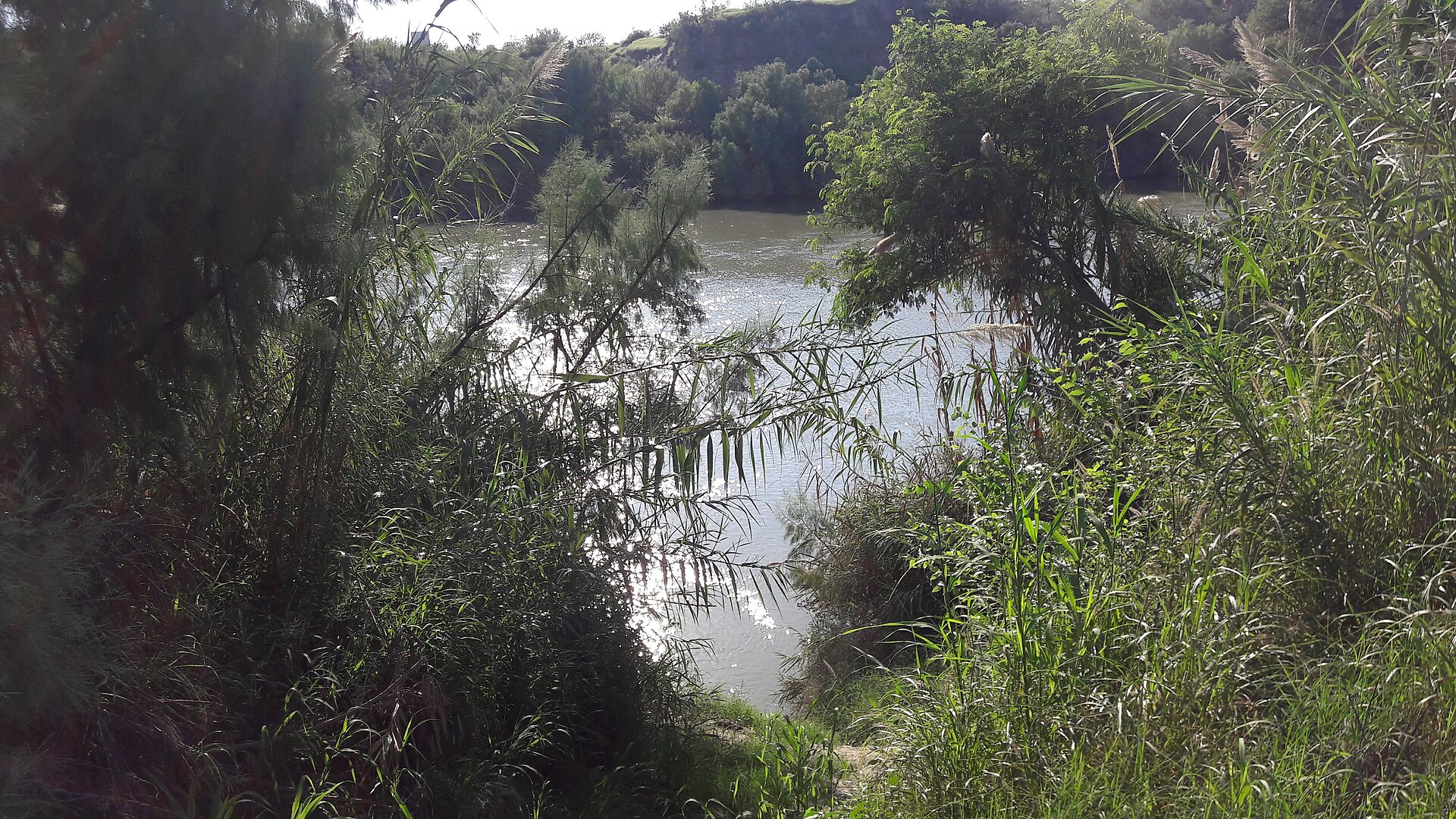
The release and the letters do not list the counties, and Mexican press coverage places the islands on the river between Laredo and McAllen. They cite no statute or treaty as the legal basis, only the GLO’s own review of historical records and surveys.
Texas Has Done This Before
The island campaign began in 2023, when Buckingham declared Fronton Island, a 170-acre island in Starr County, to be state land. The DPS and the TMD then cleared vegetation there in Operation Flat Top, which the GLO says helped disrupt criminal activity at the site.
On 31 March 2025 the GLO announced two more islands near Roma of about 12.13 and 20.3 acres, calling one of them cartel-infested and asking the Trump administration and the TMD to secure it. The 2025 release described cartel use of the site, while the new letters say criminal activity has not been confirmed on the nine added islands.
Texas has run its own border mission, Operation Lone Star, since Governor Greg Abbott launched it in March 2021, and his office counted more than 503,800 migrant apprehensions under it by March 2024. The island finding extends that effort onto the river itself, where the DPS and the TMD, which oversees the state National Guard, now hold written authorization to enter nine more islands.
The GLO’s release also recalls its October 2024 purchase of a 1,402-acre ranch in Starr County to build the state border wall, and the completion of 1.5 miles of wall paneling there in January 2025. The same release names the island claims as the final pillar, called “Protect It,” of its Texas Engine initiative.
What the Mexican Note Says
The note opens by stating that the border cannot be modified by the decision of a state government and that its limits are defined by criteria set in an international treaty. It then responds to Texas authorities who state that nine Rio Grande islands belong to their state, an apparent reference to the Texas General Land Office announcement of 26 October.
The note points to the 1970 Boundary Treaty, which puts the international limit at the center of the river’s normal channel, and says that line determines sovereignty over the lands on both sides regardless of their earlier sovereignty. It adds that the commission, known in Mexico as CILA, is the body both governments empowered to apply the treaty and to determine which side of the line each island lies on, a power that no state authority holds.
A third point recalls that, under the treaty, neither country may build works that the commission judges could divert or obstruct the river’s normal flow. The note closes by promising close follow-up of any action in the zone and by reaffirming Mexico’s commitment to the border treaties and to dialogue through the established mechanisms.
What the 1970 Treaty Text Provides
The treaty, signed in Mexico City on 23 November 1970, states in Article II that the boundary in the Rio Grande runs along the middle of the channel occupied by normal flow, and along the channel with the greater average width where the river has more than one channel. It adds that from the treaty’s entry into force the line determines sovereignty over the lands on either side regardless of previous sovereignty, a clause written to resolve uncertainties over islands.
Article II also gives the commission the tasks of determining the normal flows and of delineating the boundary on maps or aerial photographic mosaics, with new surveys at intervals not greater than ten years. Article I recorded the transfers that settled earlier cases, including 481.68 acres (194.93 hectares) of the Horcon Tract and Beaver Island passing to Mexico and 252 acres (101.98 hectares) passing to the United States.
The treaty also records that, once the new boundary applies, Mexico will receive a greater number and acreage of islands than the United States, so islands were allocated by where the line falls. Article IV bars each country from building works that the commission judges could deflect or obstruct the normal flow of the river or its flood flows.
Who Decides the Boundary
The International Boundary and Water Commission (IBWC) is a joint body of the two governments with a US section and a Mexican section, each headed by an engineer commissioner, and its jurisdiction covers the limitrophe parts of the Rio Grande and the Colorado River. The treaty names the commission, not a state agency, as the body that determines normal flows and draws the line on maps.
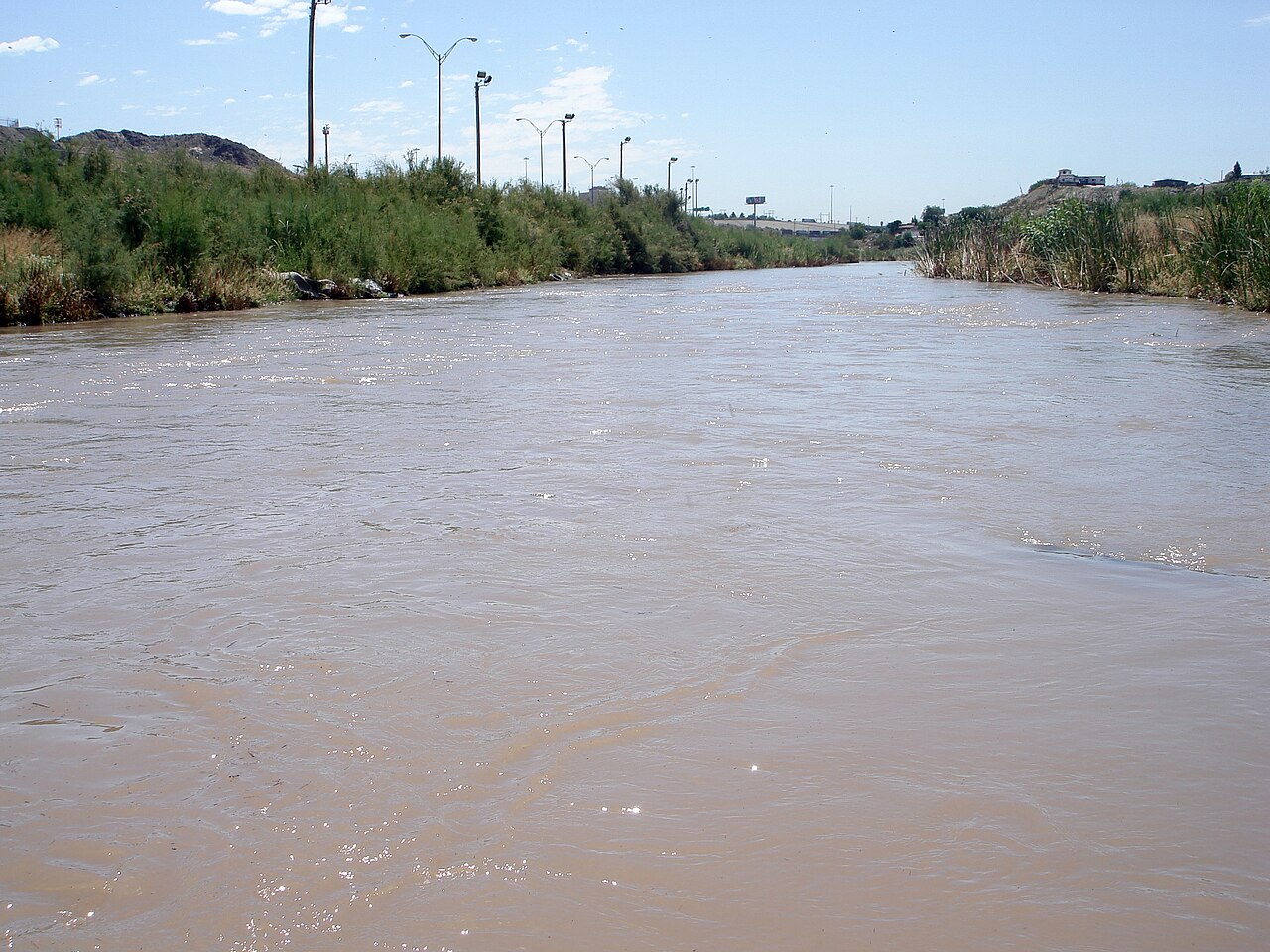
Texas reached its conclusion from historical records and surveys, and its map for Nixon Island and for Tex Mex Island 2 draws a dashed line labeled International Boundary Line south of the island outlines, which places them on the Texas side of the line as the map draws it. The Mexican note does not address that map, and says instead that no state authority can decide on which side of the line an island lies.
What Texas Has Said
The Texas General Land Office wrote on 26 October that its review of historical records, surveys and other information found that nine of 28 islands are state property, and it told state police and the Texas Military Department they may enter them for border security. Its release names no treaty or statute as the legal basis, which is the gap the Mexican note targets.
What Mexico Will Do
The note commits Mexico only to follow any action in the area closely and to keep working through the bilateral mechanisms, and it announces no complaint, summons or request to the commission. It is an institutional statement and carries no quote from Foreign Secretary Roberto Velasco Álvarez or President Claudia Sheinbaum Pardo.
Mexico has used the same bilateral channels on other border questions, including the 1944 water treaty minimum it said it met on 24 October. The latest Mexico coverage tracks any further Mexican move on the islands.
What It Means for You
For US readers who live or invest along the Rio Grande, the note signals that Mexico will treat state patrols or clearing on the islands as a treaty question for the commission, not a local land matter. It also frames the nine islands as a matter for the commission, a body whose duties the 1944 water treaty expanded.
For US businesses and landowners on the river, the legal boundary does not change until the commission or the two governments act, even though Texas has already authorized its police and Guard to enter the islands. The next public signal would be a statement from the US section of the commission or from the State Department.
What Is Not Known
It is not known whether the commission has been asked to survey or rule on the nine islands, or whether the US government will back the Texas claim or the Mexican position. The US section of the commission had not published a statement on the islands in its press release list by Saturday 31 October.
The note does not say what Mexico will do if Texas police or Guard soldiers begin patrols on islands that lie on the Mexican side of the line. It also does not mention the Texas map, so whether Mexico accepts the line that map shows is not known.
Frequently Asked Questions
What did Mexico say about Texas claiming Rio Grande islands?
Mexico’s foreign ministry said on 30 October 2026 that the border cannot be modified by a state government. It said the 1970 treaty sets the line and the binational boundary commission decides which side each island lies on.
Who decides which country owns a Rio Grande island?
Under the 1970 treaty the line follows the middle of the channel of normal flow, and the International Boundary and Water Commission draws it. Mexico says that commission, not a state, decides which side each island lies on.
What is the 1970 Boundary Treaty?
It is a treaty signed in Mexico City on 23 November 1970 to resolve pending boundary cases and keep the Rio Grande and Colorado River as the international boundary. It also settled uncertainties over sovereignty of islands.
What will Mexico do about the Texas claim?
The foreign ministry said it will closely follow any action in the area. It reaffirmed its commitment to the border treaties and to dialogue through established bilateral mechanisms.
How big are the nine Texas islands?
The Texas General Land Office puts the nine islands at roughly 66 acres in total. The largest on its map, Nixon Island, covers 21.7 acres.
Sources: Mexico Foreign Ministry (SRE), Nota informativa No. 015/2026, 30 October 2026; International Boundary and Water Commission, text of the Boundary Treaty of 23 November 1970 (TIAS 7313); International Boundary and Water Commission, history of the Commission; Texas General Land Office, press release, 26 October 2026; Texas General Land Office, letters to the TMD and DPS with island map, 26 October 2026; Texas General Land Office, press release, 31 March 2025; Texas Governor’s office, Operation Lone Star release, 8 March 2024; El Imparcial, 30 October 2026; Proyecto Puente, 30 October 2026.
This article was produced by The Rio Times’ automated newsroom system. How we use AI · Report an error · Editorial responsibility: Matthias Camenzind, Editor-in-Chief