El Niño Peru Children Risk: UNICEF Counts 3 Million Exposed
Peru · Society
Key Facts
- —What happened UNICEF Peru estimated on 14 September 2026 that 3,006,028 children live in zones ranked high or very high risk for El Niño.
- —What the number counts Children aged 0 to 17 by where they live, measured against state risk maps, not children already harmed.
- —The catch The figure measures exposure by place of residence, not damage done, and secondary coverage often loses that distinction.
- —Where they are Five regions hold 62% of them: La Libertad, Lima, Piura, Lambayeque and Ica, together 1,871,099 children.
- —What else sits there 13,093 educational facilities, 43.4% of the national total, and 1,917 state health establishments in high flood-risk zones.
- —UNICEF’s warning Javier Álvarez, UNICEF’s Representative in Peru, presented the estimate in the agency’s own press release.
A United Nations agency has estimated how many Peruvian children live where an El Niño would do its damage. The number is an exposure estimate, not a tally of harm already done.
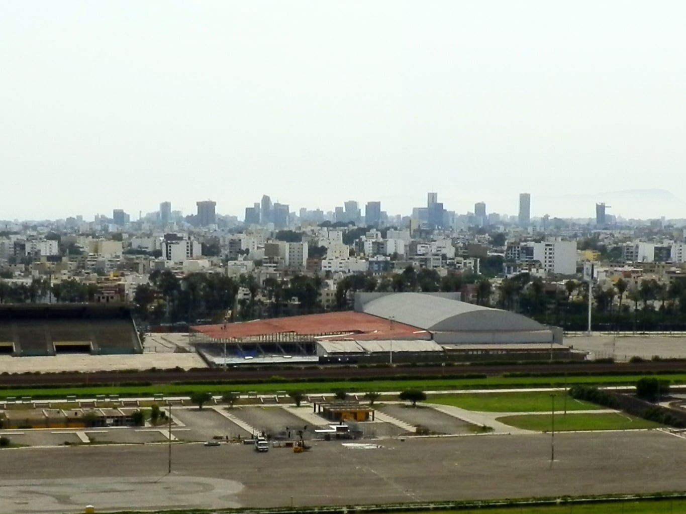
More than three million El Niño Peru children live in zones the state ranks as high or very high risk. UNICEF puts the estimate at 3,006,028.
The number comes from a press release issued by UNICEF Peru on 14 September 2026. Peruvian outlets including Andina, Infobae and La República carried it.
RPP’s account of 15 September 2026 gave different numbers, among them more than 17,000 educational premises. It quoted Fernando Bolaños, UNICEF’s education lead in Peru.
It is a measure of exposure, not of damage already done. No child in that total has necessarily been flooded, displaced or made ill.
What the UNICEF estimate actually counts
The 3,006,028 are children and adolescents aged 0 to 17. They are 31% of everyone under 18 in Peru.
UNICEF describes the estimate as its own. It crossed the 2025 national census with official maps of disaster risk.
The census is run by INEI, Peru’s national statistics agency. The risk classifications come from CENEPRED, the state body that grades disaster risk by area.
So the El Niño Peru children figure is an exposure estimate. It counts where children live, not children harmed in any one season.
Five regions hold 62% of the children counted. La Libertad has the most, alongside Lima, Piura, Lambayeque and Ica.
Those five account for 1,871,099 of the total. All five have a Pacific coastline.
UNICEF also counted buildings. It found 13,093 educational facilities in those zones, 43.4% of the national total.
It counted 1,917 state health establishments in zones of high or very high flood risk, a fifth of the country’s total. Schools and clinics are where children are reached.
The education share is the striking one. More than two fifths of Peru’s educational facilities, 43.4%, stand inside a high or very high risk zone.
“Behind these figures there are girls, boys and adolescents whose rights we must protect,” said Javier Álvarez. He is UNICEF’s Representative in Peru.
What El Niño is, in plain terms
El Niño is a warming of surface water in the tropical Pacific Ocean. It arrives irregularly, every few years, and lasts months rather than weeks.
Warmer water moves the rain. Places that are normally dry can receive heavy rainfall, and places that are normally wet can turn dry.
Peru sits on the eastern edge of that ocean. A more local version, called the coastal El Niño, warms the water directly off the Peruvian shore.

Why the northern coast is hit hardest
Peru’s coastal strip is desert. Rain there is rare, so drainage, housing and roads were never built to carry much water.
When the sea off the coast warms, that desert receives rain it cannot absorb. Dry riverbeds fill, and the water runs into towns built beside them.
That is why coastal regions dominate the count. Piura, Lambayeque and La Libertad all appear among the five UNICEF singles out.
How a flood reaches a child
The risks to those children run in a chain. Each link is ordinary, and each one compounds the next.
The first is the water itself. Fast-moving flooding damages homes and forces families out of them.
Displacement is the second. A family that leaves also leaves the school, the health post and the routine attached to that address.
Schooling is the third. UNICEF counted 13,093 educational facilities inside high or very high risk zones, and a damaged one closes.
Drinking water is the fourth. Floodwater mixes with sewage, and contaminated supplies carry the diarrhoeal illness that hits small children hardest.
Nutrition is the last. Repeated illness, lost household income and damaged crops all feed into child malnutrition.
Health posts sit in the same chain. UNICEF counted 1,917 state establishments in high or very high flood-risk zones, one in five nationally.
What the forecasters say
The UNICEF release carries no forecast for the coming season. It sets out exposure and stops there.
The forecast comes from ENFEN, the multi-agency committee that issues Peru’s official El Niño warnings. It published Comunicado Oficial N.° 16-2026 on 14 September 2026.
ENFEN kept Peru on its formal “Alerta de El Niño Costero”, the coastal El Niño alert. Infobae and Gestión both reported the comunicado on 15 September 2026.
The committee put the highest probability of an extraordinary event between September 2026 and January 2027. It expects a strong to extraordinary event in February and March 2027.
For December to March, ENFEN gave 48% for extraordinary magnitude and 45% for strong. It expects the event to last until the middle of autumn 2027.
La República reported on 15 September 2026 that ENFEN had raised September’s probability of extraordinary magnitude to 85%. That is ten percentage points above the 75% in its comunicado of 28 August 2026.
SENAMHI, the national weather service, set out its own outlook on 17 September 2026. It expects above-normal rainfall on the north coast from September to November, and again from January to March 2027.
SENAMHI also expects moderate to strong rainfall episodes from November onwards. It says coastal temperatures will run far above their usual ranges, with records possible.
What it means for readers abroad
The El Niño Peru children number is not a casualty count. It is a map of where damage would land if a strong season arrives.
For visitors, the exposed regions take in Lima and much of the northern coast.
For aid agencies, the figure is a planning number. It says how many educational facilities and health posts would need support at once.
For Peru, the useful part is the concentration. Almost two thirds of the exposure, 62%, sits in five regions, which is a short list to prepare.
More: Peru coverage, every day from The Rio Times.
Frequently Asked Questions
What exactly did UNICEF count?
UNICEF Peru estimated that 3,006,028 children and adolescents aged 0 to 17 live in areas classified as high or very high risk for El Niño. That is 31% of Peru’s under-18 population. The estimate is UNICEF’s own, built by crossing the 2025 national census, run by the statistics agency INEI, with risk classifications from CENEPRED, the state disaster-risk body. It measures exposure by place of residence.
Does the figure mean three million children have been affected?
No. The total counts where children live, not what has happened to them. It is a standing exposure estimate drawn from risk maps, not a record of children flooded, displaced or treated. UNICEF published it on 14 September 2026 as a picture of who would be in the path of a severe season.
Which parts of Peru are most exposed?
Five regions account for 62% of the exposed children, or 1,871,099 of the total. La Libertad has the most of any region, and the others are Lima, Piura, Lambayeque and Ica. All five lie on the Pacific coast, where rain is normally scarce and the ground and drainage cannot absorb a heavy season. UNICEF also counted 13,093 educational facilities in those zones, and 1,917 state health establishments in zones of high or very high flood risk.
What is Peru’s official forecast for this season?
Peru is under a formal coastal El Niño alert, the “Alerta de El Niño Costero”, which ENFEN maintained in Comunicado Oficial N.° 16-2026 of 14 September 2026. ENFEN is the multi-agency committee that issues Peru’s official El Niño warnings. It places the highest probability of an extraordinary event between September 2026 and January 2027, expects a strong to extraordinary event in February and March 2027, and gives 48% for extraordinary magnitude and 45% for strong across December to March. It expects the event to last until the middle of autumn 2027. La República reported on 15 September 2026 that ENFEN had raised September’s probability of extraordinary magnitude to 85%, ten points above the 75% in the comunicado of 28 August 2026. SENAMHI, the national weather service, said on 17 September 2026 that it expects above-normal rainfall on the north coast from September to November and again from January to March 2027, with coastal temperatures far above their usual ranges. The UNICEF release itself carries no forecast.
Sources: UNICEF Peru on the 3,006,028 children in high and very high risk zones, ENFEN Comunicado Oficial N.° 16-2026 on the coastal El Niño alert, La República on the rise to 85% for September, Gestión on ENFEN maintaining the alert to mid-autumn 2027, Infobae on the SENAMHI rainfall and temperature outlook
This article was produced by The Rio Times’ automated newsroom system. How we use AI · Report an error
Read More from The Rio Times