
GUATEMALA · EARTHQUAKE
An undersea earthquake shook Guatemala’s Pacific coast at 08:54 local time on Tuesday, 10 November (14:54 UTC). The US Geological Survey (USGS), the American government’s seismology agency, measured it at magnitude 5.6.
Guatemalan and other agencies reported different magnitudes, because each calculates the size its own way. Early accounts mentioned no damage or injuries.
Key Facts
- When Tuesday, 10 November, at 08:54 local time (14:54 UTC).
- Size Agencies range from magnitude 5.2 to 5.8; the reviewed US figure is 5.6.
- Where Pacific Ocean, 43 km (27 miles) south of Puerto San José, a port town.
- Depth Estimates run from 10 to 35 km below the sea floor.
- Damage No damage or injuries appeared in early accounts.
Every agency gave a slightly different number, but the early picture is of a strong shake without reported harm.
What the Agencies Measured
The USGS, in its reviewed solution, recorded moment magnitude 5.6 (a standard measure of energy released) at 35 km depth. Half an hour later, at 15:23 UTC, it logged a magnitude 4.8 aftershock 34 km south of the same town.
INSIVUMEH, Guatemala’s national seismology and volcano institute, put the first shock at a preliminary 5.2 and 30 km deep, according to Infobae, a regional news site, and Prensa Libre, a Guatemalan daily. Publinews, a Guatemalan outlet, reported a second quake at 09:24 local time, magnitude 5.0 and 45 km deep, close to the time of the USGS aftershock.
El Salvador’s environment ministry estimated 5.4, Infobae reported. The Mexican site Quadratín and the Colombian daily El Tiempo reported 5.8 and a 10 km depth, with the 10 km depth attributed to Guatemala’s geological service.
Where It Was Felt
The USGS received 15 reports through its “Did You Feel It?” public survey and gave the quake its lowest, green, alert level for likely damage. Prensa Libre reported that internet users felt it in Chimaltenango, Mixco and Villa Canales.
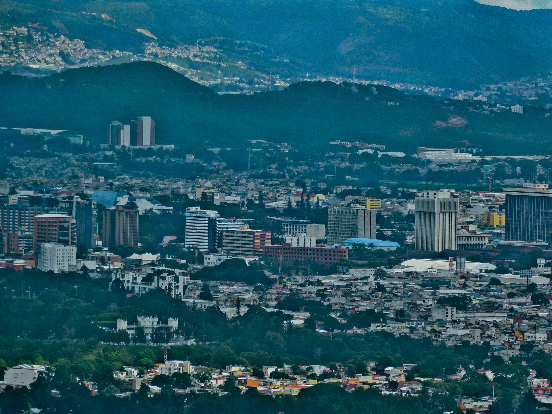
Infobae said El Salvador felt it lightly to moderately, and El Tiempo reported that some public buildings in Guatemala City were evacuated as a precaution. CONRED, Guatemala’s national disaster agency, urged calm and reminded people of its 119 emergency line, Infobae reported.
What Is Not Known
We could not find a reading from Mexico’s national seismology service, and the reports do not name the source of the 5.8 magnitude. Damage checks may also still be under way.
What It Means for Readers
Visitors and expats in Guatemala should expect possible aftershocks and follow CONRED guidance. Our Antigua guide lists what to check on the ground, and our report on Bolivia’s earthquakes covers a recent quake in the region.
More coverage is in our Guatemala hub, which we update as agencies publish final figures.
Frequently Asked Questions
How strong was the Guatemala earthquake?
The USGS measured magnitude 5.6. Guatemala’s institute reported a preliminary 5.2, and some media reported 5.8.
Was there any damage?
Early accounts reported no damage or injuries. Some public buildings in Guatemala City were evacuated as a precaution.
Where was the epicentre?
The USGS placed it in the Pacific, 43 km south of Puerto San José. Reports citing Guatemala’s geological service said about 70 km south of Sipacate, a Pacific coast town in Escuintla.
Sources: USGS, magnitude 5.6 event, 10 November 2026; USGS, magnitude 4.8 event, 10 November 2026; Infobae, 10 November 2026; Prensa Libre, 10 November 2026; Publinews, 10 November 2026; El Tiempo, 10 November 2026; Quadratín, 10 November 2026.
This article was produced by The Rio Times’ automated AI newsroom. Editorial responsibility: Matthias Camenzind, Publisher and Editor-in-Chief. The Rio Times also runs Ask Rio Times, which answers from 100,000+ of our own articles, the daily Latin America Power Map, and prediction-market odds on elections and markets.. How we use AI · Report an error