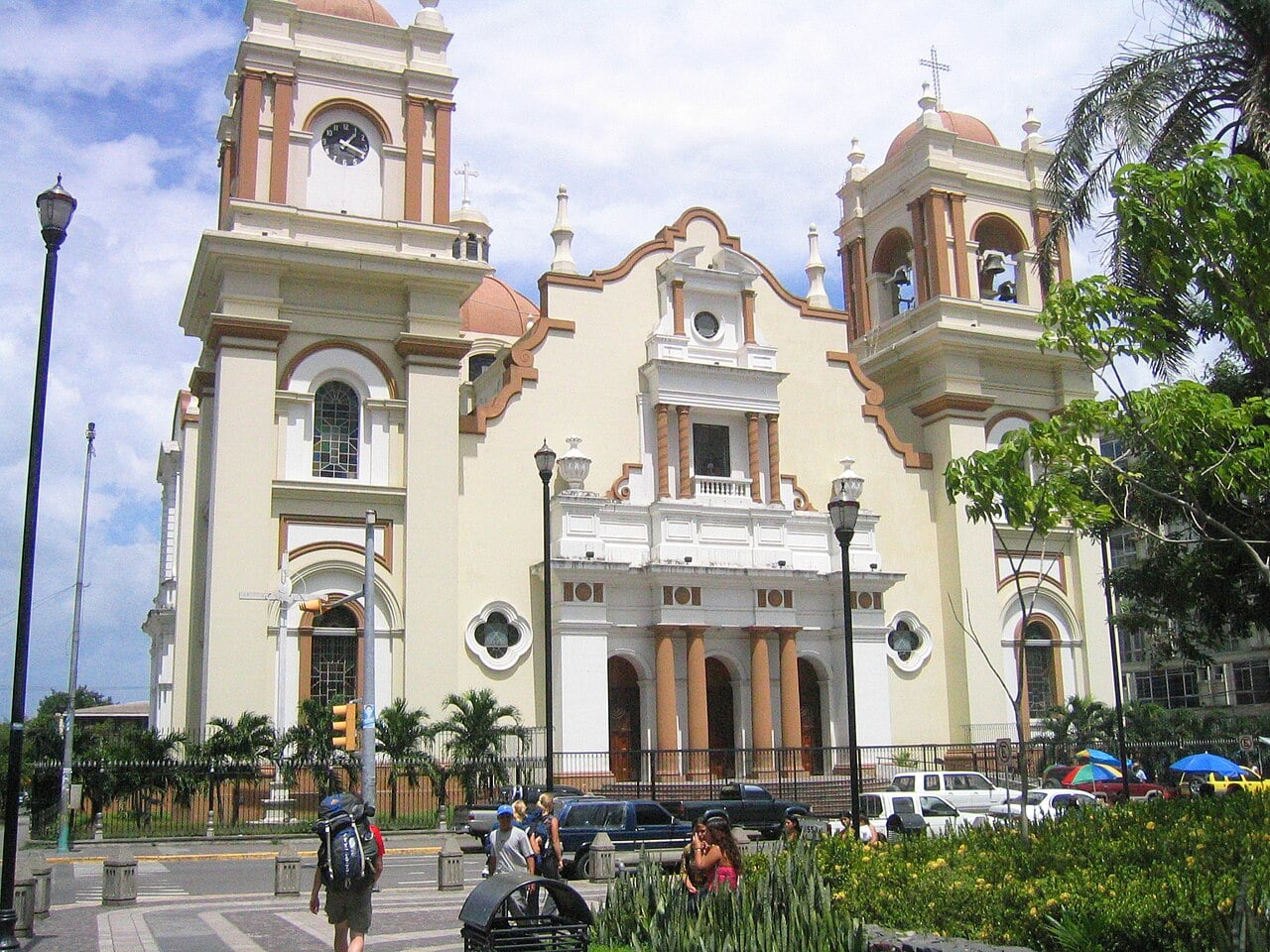
Honduras faces a rainy week as its first cold front of the season approaches, and San Pedro Sula, the industrial heart of the north, floods easily. Forecasters at Cenaos, the weather centre of the national emergency agency Copeco, expect the front to enter Honduras around Friday 13 November 2026.
The city sits in a low river valley where heavy rain regularly floods streets and homes. For US readers, that matters because the Sula Valley is an industrial region and because many Honduran families have relatives in the United States.
- Who: Honduras, with a flood risk for San Pedro Sula, its second-largest city.
- What: the first cold front of the season, with rain on most days this week.
- When: the front is expected around Friday 13 November 2026.
- Not known: rainfall totals, and how many neighbourhoods will flood.
- As of 10 November 2026, 06:00 GMT
In plain English: A cold front is the leading edge of cooler air that pushes in from the north and brings days of cloud and rain. Copeco is Honduras’s national emergency agency, and its weather arm Cenaos issues the daily forecasts.
What Forecasters Expect This Week
Jeffrey Flores, the forecaster on duty at Cenaos, said on Monday 9 November that “almost all week” will be rainy. He expects the heaviest totals on Thursday 12 November.
Cenaos projects that the first cold front of the 2026 season will probably enter Honduras on Friday 13 November. Flores said the weekend would be cold as well.
The timing is a forecast and may shift. Cenaos has not given rainfall totals or named the regions most at risk.
Why San Pedro Sula Floods So Easily
The city lies in the Sula Valley, a flat basin crossed by rivers that drain the mountains around it. When rain is heavy, water collects in the low neighbourhoods.
Copeco said in December 2025 that between 35 and 50 urban neighbourhoods of San Pedro Sula have problems every time it rains. That is why even an ordinary cold front can disrupt traffic, schools and shops in the city.
What It Means for You
Travellers heading to Honduras this week should expect wet roads and possible delays, and should check conditions with their airline and hotel. Families with relatives in the Sula Valley may want to ask whether they have a plan for evacuation and food.
Businesses with factories or suppliers in the valley should watch for transport disruption on Thursday and Friday. A cold front brings rain and cooler air rather than a hurricane, but low neighbourhoods can still flood quickly.
What Is Not Known
We do not know the exact day the front will arrive or how much rain it will bring. We have not seen an official alert level for the north in the forecasts we reviewed.
We also do not know how many neighbourhoods will flood. More on the country is in our Honduras coverage and in the guide to foreign powers and investors in Honduras.
Frequently Asked Questions
When will the first cold front reach Honduras?
Cenaos projects that it will probably enter on Friday 13 November 2026. The timing is a forecast and may shift.
Is San Pedro Sula at risk of flooding?
Yes. The city sits in a river valley that floods in heavy rain, and Cenaos expects rain on most days this week across Honduras, with the heaviest on Thursday 12 November.
Will the cold front bring a hurricane?
No. A cold front brings rain and cooler air, not a tropical storm, and Cenaos expects a cold weekend.
Sources: Cenaos and Copeco, Honduras’s weather centre and national emergency agency, forecast of 9 November 2026 and Copeco’s statement of December 2025.
This article was produced by The Rio Times’ automated AI newsroom. Editorial responsibility: Matthias Camenzind, Publisher and Editor-in-Chief. The Rio Times also runs Ask Rio Times, which answers from 100,000+ of our own articles, the daily Latin America Power Map, and prediction-market odds on elections and markets.. How we use AI · Report an error