Guatemala’s Volcán De Fuego Eruption Forces Evacuations
Public Safety: Guatemala
Key Facts
—Alert. INSIVUMEH says Guatemala’s Volcán de Fuego entered its most explosive ‘paroxysm’ phase late on 3 August 2026, with CONRED coordinating the emergency response.
—Timing. The heightened activity could last roughly 24 to 72 hours, according to INSIVUMEH director Edwin Rojas.
—Evacuations. Families from the El Porvenir and Las Lajitas hamlets in San Juan Alotenango, Sacatepéquez, are being moved to shelters.
—Road closed. Authorities closed National Route 14 (RN-14) at kilometre 83, the entrance to San Juan Alotenango, in both directions.
—Hazards. Pyroclastic flows, ash above 7,000 metres and possible lahars threaten communities on the volcano’s west and south flanks.
Guatemala’s Volcán de Fuego eruption has entered a more explosive phase expected to last up to 72 hours, prompting evacuations near San Juan Alotenango and the preventive closure of the road into the town.
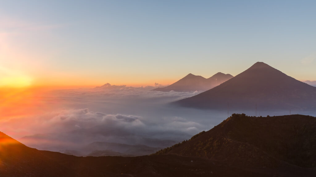
A More Explosive Phase on Fuego
INSIVUMEH, Guatemala’s institute for seismology, volcanology, meteorology and hydrology, reported that the Volcán de Fuego reached its ‘paroxysm’ phase, the moment of greatest eruptive intensity, late on Monday 3 August 2026. The shift was confirmed in special bulletin BEFGO-060-2026 at about 10:35 p.m. local time, roughly 14 hours after the eruptive phase began that morning.
During the peak, the institute recorded a lava fountain rising some 200 to 300 metres above the crater, throwing incandescent material into the upper ravines. INSIVUMEH warned that the eruptive column could climb past 7,000 metres above sea level, feeding a large plume of suspended ash.
INSIVUMEH director Edwin Rojas said that, based on the volcano’s historical behaviour, the heightened activity could last between 24 and 72 hours, though the evolution depends on the volcano itself. It is the first eruptive event of 2026 after a relative lull since June 2025.
Two Villages Evacuated Near Alotenango
The national disaster agency CONRED said it is carrying out preventive evacuations of families from the hamlets of El Porvenir and Las Lajitas, in the municipality of San Juan Alotenango, Sacatepéquez, moving residents to shelters and safe areas while the risk persists.
CONRED executive secretary Claudinne Ogaldes is coordinating prevention and response with the institutions that make up the national disaster system. Spokesperson Valeria Urízar urged residents to rely only on official channels and to follow instructions from the authorities.
San Juan Alotenango sits on the southern side of the volcano, near the colonial tourist city of Antigua Guatemala. The same flanks were devastated by the deadly 2018 eruption, which killed hundreds and remains the reference point for how quickly Fuego’s pyroclastic flows can escalate.
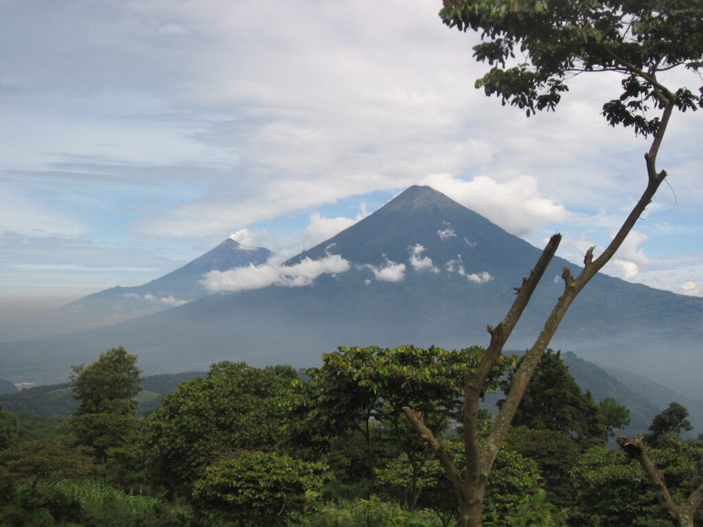
The Road Into Alotenango Is Closed
Because of material descending the Las Lajas ravine, authorities ordered the preventive closure of National Route 14 (RN-14) at kilometre 83, the entrance to San Juan Alotenango, and asked people to avoid the sector while the emergency continues.
Road agency PROVIAL said the closure is being maintained in both directions at kilometres 83 and 103 as a safety measure, with crews providing traffic control and operational support in the area.
In a region where RN-14 is a main link between the Pacific lowlands and the highland corridor around Antigua, the closure is a significant disruption. Authorities framed it as a precaution against fast-moving flows rather than a response to any confirmed damage on the road.
Ashfall, Aviation and the Wider Region
INSIVUMEH said ashfall is concentrated on the volcano’s west and southwest flanks, affecting communities in Escuintla, Sacatepéquez and Chimaltenango, particularly San Pedro Yepocapa and its rural villages. Satellite monitoring tracked ash drifting more than 100 kilometres, reaching up to about 130 kilometres to the west.
With ash suspended between roughly 5,000 and 6,000 metres above sea level, the plume also poses a risk to aviation. Guatemala’s civil aviation authority, the DGAC, has issued precautionary recommendations for air navigation in the zone.
Local authorities suspended classes in several municipalities near the volcano and advised residents to wear face masks during ashfall, protect water and food supplies and shelter animals. INSIVUMEH also cautioned about the possibility of lahars, fast flows of hot volcanic material and debris, on the volcano’s slopes.
How Authorities Are Monitoring the Volcano
The head of INSIVUMEH’s volcanology department, Amilcar Roca, said the volcano had not shown a significant increase in activity since June 2025, making this the first eruptive event of 2026. The current episode was detected at around 8:30 a.m. on 3 August.
Monitoring relies on a multi-parameter network of seven stations that combines surveillance cameras, seismic and acoustic sensors, weather stations and satellite data, backed by field observers. INSIVUMEH said the setup lets it follow magma emission, the movement of incandescent material and ash dispersal in real time.
By the time the paroxysm phase was confirmed, INSIVUMEH had issued six special volcanological bulletins and three advisories on ashfall and dispersal. Officials said monitoring would continue around the clock, with new bulletins as the eruption evolves.
What the Volcán de Fuego Eruption Means for Visitors and Expats
For foreign residents and travellers, the practical takeaway is to stay away from the volcano’s flanks and the closed stretch of RN-14, and to check conditions before heading toward Antigua Guatemala or nearby towns. Authorities stressed that the greatest threat remains pyroclastic density currents in the Seca, Taniluyá and Ceniza ravines.
CONRED has repeated its standard guidance to keep a ’72-hour backpack’ ready with documents, water, food and essentials, a reflection of how the agency frames the current window of risk. Residents in exposed communities are asked to be ready to move quickly if instructed.
The situation is fluid, and the most reliable updates come from INSIVUMEH and CONRED rather than social media. For expats across Latin America watching from afar, the episode is a reminder that Fuego, one of Central America’s most active volcanoes, can shift from routine activity to a dangerous phase within hours.
Frequently Asked Questions
What is happening with the Volcán de Fuego right now?
INSIVUMEH says the Volcán de Fuego entered its most explosive ‘paroxysm’ phase late on 3 August 2026, with stronger explosions, pyroclastic flows and heavy ashfall. The institute says the heightened activity could last between 24 and 72 hours.
Which areas have been evacuated or closed?
CONRED is preventively evacuating families from the El Porvenir and Las Lajitas hamlets in San Juan Alotenango, Sacatepéquez. Authorities also closed National Route 14 (RN-14) at kilometre 83, the entrance to Alotenango, in both directions.
Is it safe to travel near Antigua Guatemala?
Authorities urge visitors to avoid the volcano’s flanks and the closed section of RN-14 and to follow INSIVUMEH and CONRED updates. Ashfall is affecting parts of Escuintla, Sacatepéquez and Chimaltenango, and aviation advisories are in place.
Sources
Prensa Libre · La Región (EFE) · INSIVUMEH · CONRED
Connected Coverage
LatAm Expat & Nomad Daily Guide
Sources: Prensa Libre; La Región (EFE); INSIVUMEH; CONRED.
This article was produced by The Rio Times’ automated newsroom system. How we use AI · Report an error
Read More from The Rio Times