Quake Shakes Eastern Dominican Republic
A quake rattled the Dominican Republic's tourist east on Saturday, and agencies still disagree on its exact size.

Earthquake: Dominican Republic
An earthquake of magnitude 4.6 (a measure of the energy released) shook the eastern Dominican Republic at 11:00 am local time on Saturday 21 November 2026, according to the US Geological Survey (USGS, the US federal agency that monitors earthquakes). Its epicentre lay about 18 km east-southeast of La Romana, a resort city on the Caribbean coast.
Nobody has reported damage or injuries so far. The region is a destination for US visitors, and Puerto Rico, a US territory, lies just across the sea to the east.
Key Facts
- Who. Residents and visitors in the eastern Dominican Republic; no damage or injuries reported.
- What. An earthquake, magnitude 4.6; other estimates differ.
- Where. Near La Romana; eight felt reports filed, none strong.
- When. Saturday 21 November 2026, 11:00 am local time (15:00 UTC, Coordinated Universal Time).
- As of. 21 November 2026, 18:55 GMT.
A quake rattled the Dominican Republic’s tourist east on Saturday, and agencies still disagree on its exact size.
Eastern Hispaniola, the island the Dominican Republic shares with Haiti, lies in an active earthquake zone. Earthquakes there can strike at depth as well as near the surface.
The USGS recorded a magnitude 5.0 quake about 51 km south of Boca de Yuma, a coastal town in La Altagracia province, on 26 June 2026. That earlier event lay at about 82 km depth, also off the island’s south-eastern coast.
This time the USGS puts the source of the shaking 104 km below the surface, far deeper than most damaging quakes. The agency gave the event no damage alert level.
Eight people filed reports on the USGS “Did you feel it?” form, the agency’s online survey for the public. The strongest shaking reported scored 2.4 on the agency’s “Did you feel it?” intensity scale, which runs from I to X, and that is a weak level of shaking.
The size of the quake is not settled. Other estimates for the same event range from 4.4 to 4.8, and the USGS figure is the one its reviewers have checked.
The Pacific Tsunami Warning Center, a US agency in Hawaii that watches for ocean-wide tsunamis, lists 4.8 for the same quake at about 106 km depth. A third estimate in the USGS feed, from its global network, gives 4.4 at about 112 km.
The three figures come from different monitoring networks, each with its own stations and calculation method. Early estimates often change as more data arrive.
A quake this far down usually shakes the surface less than a shallow one of the same size. That suits the weak shaking reported.
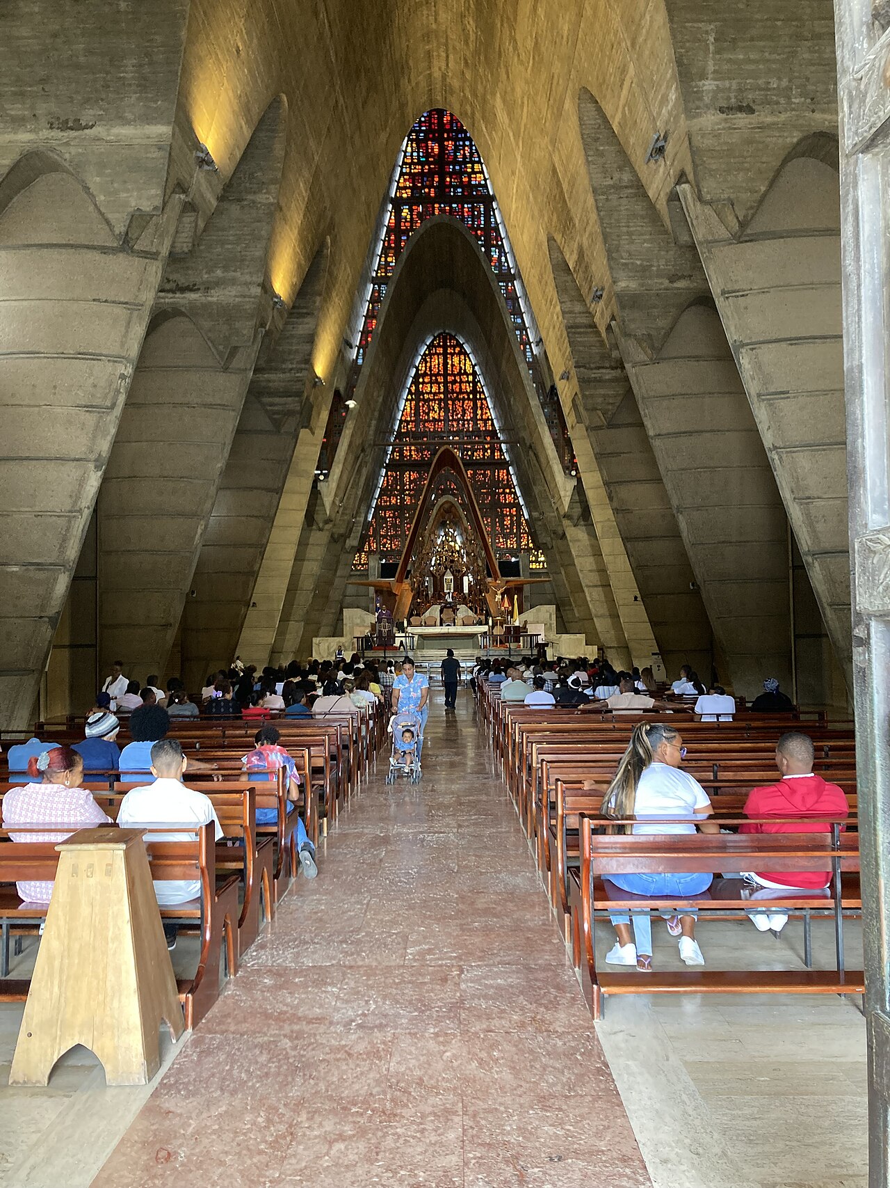
Higüey is home to the Basilica of Our Lady of Altagracia, a major pilgrimage church, and Punta Cana is the beach region where many US visitors stay. La Romana is a coastal city in the island’s south-east.
The USGS record carries a tsunami flag of zero, the agency’s marker for tsunami risk. We could not find a tsunami statement for Puerto Rico or the US Virgin Islands issued after the quake.
We found no statement from the Dominican emergency agency, the Centro de Operaciones de Emergencias (COE). The Instituto Sismológico Universitario, the seismology institute of the Autonomous University of Santo Domingo, had not published a figure we could find either.
The USGS may revise the magnitude as reviewers add data. Any damage reports from Higüey, La Romana or Punta Cana would change the picture.
Readers can follow the wider picture in our Dominican Republic coverage. Our report on drug raids that touched Higüey covers a different story from the same part of the country.
Frequently Asked Questions
Was there a tsunami risk?
The US agency’s record carries no tsunami flag for this quake. We found no later tsunami statement for Puerto Rico.
Should visitors change travel plans?
Nothing reported so far points to damage, so there is no sign that plans need to change. Travellers should watch local emergency channels for any later notice.
Why do agencies report different magnitudes?
Each network uses its own stations and method, and early numbers are revised. The reviewed figure can still change.
Sources
US Geological Survey earthquake event page pr2026325000, reviewed solution of 21 November 2026 and USGS public earthquake feed · USGS event page · USGS feed
Connected Coverage
Dominican Republic · Dominican Raids Reach Puerto Rico Smuggling Route · Latin America
This article was produced by The Rio Times’ automated AI newsroom. Editorial responsibility: Matthias Camenzind, Publisher and Editor-in-Chief. The Rio Times also runs Ask Rio Times, which answers from 100,000+ of our own articles, the daily Latin America Power Map, and prediction-market odds on elections and markets.. How we use AI · Report an error