Los Ilinizas Fire Burns About 200 Hectares in Ecuador

ECUADOR · ENVIRONMENT
Key Facts
What happened: A fire started in Los Ilinizas Ecological Reserve on 1 September 2026.
How big it is: About 200 hectares of páramo burned, a preliminary figure.
What it means: Páramo is the sponge that stores the region’s water, and fire damage means it holds less.
The catch: Reports differ on whether the fire is fully out, and no final burned area has been published.
Who it hits: Visitors who hike the reserve and communities that rely on the highland water.
What comes next: Officials may update the burned area as technical evaluation continues.
A blaze in Ecuador’s Los Ilinizas Ecological Reserve has burned about 200 hectares of páramo, the high grassland that stores the region’s water.
Where the fire is burning
The Los Ilinizas fire is in the El Chaupi sector of Mejía, in Pichincha province. That is part of Ecuador’s Andean highlands, south of the capital Quito.
El Chaupi is a small rural district inside the canton of Mejía, a local administrative area. The fire was reported at 22:23 on 1 September 2026.
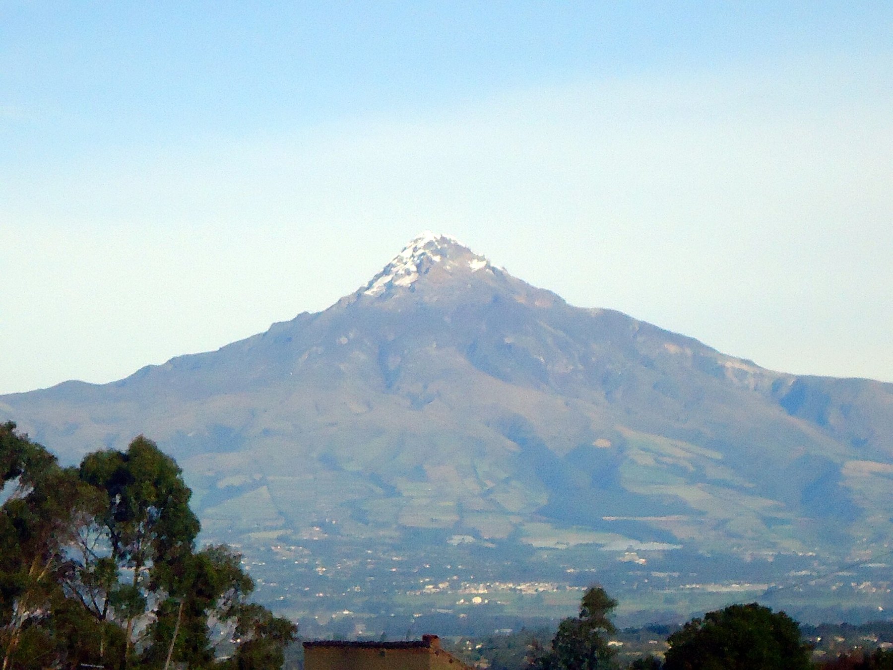
The reserve spans parts of Cotopaxi, Pichincha, and Santo Domingo de los Tsáchilas provinces. It is named after the Iliniza twin volcanic peaks.
The burned area sits on the Pichincha–Cotopaxi divide, which explains why some reports place it in Cotopaxi. The exact location is within the reserve’s high-altitude zone, mostly páramo grassland and shrubs.
Why the páramo matters
Páramo is the spongy high-altitude grassland of the Andes. It absorbs rain and releases water slowly into streams and rivers.
That water feeds the streams and rivers of the surrounding highlands. Losing páramo means the ground holds less of it.
Páramo sits above the tree line, on the highest ground of the northern Andes. Ecuador’s environment ministry treats these páramos as a priority for water regulation.
Crews said they were working to keep the fire away from water sources. The fire also destroys plants that hold soil in place, so erosion can worsen after rains.
Who is fighting the fire
Fire brigades from Mejía, Latacunga and Cayambe led the response. The armed forces, the Red Cross, the environment ministry and local volunteer brigades were also on the ground.
Latacunga sent 20 forest firefighters, and a drone was used for thermal monitoring. An air rescue squadron flew over El Chaupi to map how far the fire had spread.
The national risk secretariat, known as the Secretaría Nacional de Gestión de Riesgos, coordinated the effort. Workers from the private forestry firm Aglomerados Cotopaxi also joined the fight.
Firefighting in high mountains is tough. Steep slopes and thin air make it hard for crews to work.
How the fire started and its status
The fire was reported at 22:23 on 1 September 2026. The cause is not yet known.
Crews were still damping down on the afternoon of 3 September, El Comercio reported. Later that day La Gaceta reported the fire brought under control, and no final figure for the burned area has been published.
ECU 911, the national emergency system, reported the fire controlled on 3 September, after two days of firefighting. Crews remained on site for liquidation and mop-up.
Estimates of the burned area range from more than 170 hectares to about 200. Authorities say the figure is still under technical evaluation.
In Ecuador, many fires are linked to human activity, but that is not confirmed here. Officials have not stated a cause.
Ecuador’s 2026 fire season
Ecuador is in its peak fire season, which runs from July to September. Dry conditions have increased the risk.
As of 3 September 2026, the national risk secretariat had recorded 2,831 fire events this year. That includes 2,814 forest fires and 17 interface fires, destroying 18,027.73 hectares of vegetation across 20 provinces.
The worst-hit provinces are Imbabura, Loja and Carchi, according to the risk secretariat. The Los Ilinizas fire is one of many in a challenging season.
Guayaquil saw almost four times more surface burned than in 2025, yet the number of fires there dropped. That is according to a report from El Universo.
The report also found that 98 percent of the city’s fires were linked to human activity.
What this means for visitors
Los Ilinizas is a popular hiking destination, known for its volcanic peaks and scenic trails. But authorities have not announced a full closure of the reserve.
Visitors should stay away from active fire zones and follow any local restrictions. No official travel advisory has been issued, so check with local authorities before you go.
Even if the reserve is open, smoke and firefighting activity can be dangerous. No specific trail closures have been reported, but that could change as the fire evolves.
The environment ministry, which manages the reserve, has not issued a statement on access. The situation can change quickly, so watch for official updates.
The bigger picture
This fire is one of many in Ecuador this year. The dry season has made conditions worse.
Protecting páramo is crucial for water security. The fire highlights the fragility of these ecosystems.
Páramo is not just important for water. It also stores carbon and supports unique plants and animals, according to the environment ministry.
The loss of páramo can have long-term effects. Recovery can take decades, experts say.
What to watch next
Officials may update the burned area and containment status. The cause of the fire remains under investigation.
For now, the priority is stopping the flames. The full impact on the reserve will be known only after the fire is out.
Crews will keep working until the fire is out. That could take days or weeks.
After the fire, experts will assess the damage. They will look at how much páramo was lost and what can be done.
Visitors should watch for official updates. The situation can change quickly.
More: Ecuador news in English, every day from The Rio Times.
Frequently Asked Questions
What is the Los Ilinizas fire?
It is a forest fire in Ecuador’s Los Ilinizas Ecological Reserve. It started on 1 September 2026 and has burned about 200 hectares of páramo.
Why is the páramo important?
Páramo grassland stores water and releases it slowly. It feeds the streams and rivers of the surrounding highlands, so damage can affect the region’s water supply.
Who is fighting the fire?
Fire brigades from Mejía, Latacunga and Cayambe led the response. They were supported by the armed forces, the Red Cross, the environment ministry and local volunteer brigades.
Is the fire under control?
ECU 911 reported the fire controlled on 3 September, after two days of firefighting. Crews remained on site for mop-up, and the burned area is still under evaluation.
Is the reserve closed to visitors?
Authorities have not announced a full closure. Visitors should avoid active fire zones and follow local restrictions.
Connected Coverage
We have also reported on Peru Puts 893 Districts on El Nino Emergency Footing.
This article was produced by The Rio Times’ automated newsroom system. How we use AI · Report an error · Editorial responsibility: Matthias Camenzind, Editor-in-Chief