Hurricane Trudy Forecast: Where It Could Hit Next

MEXICO · NEXT
Key Facts
- —The country Mexico, the United States’ southern neighbour, has a Pacific coast of ports and resorts from Manzanillo to Puerto Vallarta, with the Baja California peninsula further north-west.
- —Why it matters The next two days decide which Pacific towns take the worst of a hurricane that is still forecast to be a major storm when it nears the coast.
- —Why now At 2 p.m. ET on Friday 16 October Trudy was weaker than first indicated, with 110 mph (175 km/h) winds, but every warning and watch along the coast stayed in force.
- —What happened Trudy was centred 320 miles (515 km) south-south-east of Manzanillo, and its forecast track passes near the Colima and Jalisco coast from Saturday night into Sunday.
- —The numbers Tropical-storm winds are likeliest to start at Manzanillo on Saturday daytime (73%) and at Puerto Vallarta overnight into Sunday (36%), while Cabo San Lucas faces only 6% over five days.
- —What it means for you Visitors from Manzanillo to Puerto Vallarta should expect the roughest weather from Saturday into Sunday, and those in Baja California Sur should keep watching later bulletins.
- —Still open Where the centre crosses or skirts the coast, how strong it is by then, and which way its remnants drift after Sunday.
- —Prediction markets Polymarket gives a Category 4 peak for Trudy a 52.5% chance and a Category 3 peak a 47% chance (16 October, 2:14 p.m. ET).
- —Power Index Mexico ranks 2nd of 14 in The Rio Times Latin America Power Index, with 71.4 points (October 2026 edition).
The Hurricane Trudy forecast points first to the coast of Colima and Jalisco, with the strongest winds expected from Saturday afternoon into Sunday. At 2 p.m. ET on Friday 16 October the storm had 110 mph (175 km/h) winds, weaker than first indicated.
This piece looks ahead, town by town and hour by hour, and then asks where the storm could go after the Jalisco coast. For the safety checklist, read Hurricane Trudy Safety Precautions in Jalisco and Colima, and for the track and wind numbers so far, read Hurricane Trudy Path and Intensity: What We Know.
Hurricane Trudy Forecast for the Next 48 Hours
The US National Hurricane Center (NHC) says the centre will approach the coast of southwestern and west-central Mexico on Saturday. In its Advisory 13A, issued at 2 p.m. ET, it says Trudy should pass near the coast on Saturday night into Sunday.
The NHC’s Forecast Discussion 13 puts the centre near or over the coast of west-central Mexico at about 8 a.m. ET on Sunday. Its forecast table shows 140 mph (225 km/h) winds by 8 a.m. ET on Saturday and 130 mph (210 km/h) by 8 p.m. ET.
That table is from the 11 a.m. ET package and predates the finding that Trudy is weaker. It shows 115 mph (185 km/h) by 8 a.m. ET on Sunday, 100 mph (160 km/h) that evening and 75 mph (120 km/h) by 8 a.m. ET on Monday.
Mexico’s national weather service, the SMN, framed the distance differently on Friday. Its coordinator, Fabián Vázquez Romaña, said the centre could pass about 65 km (40 miles) off Colima and Jalisco in the early hours of Sunday, as Tribuna de la Bahía and López-Dóriga reported.
He warned that any move to the left or right could change conditions a great deal. That is why the town-by-town odds below matter more than a single track line.
Wind Timing for Manzanillo, Puerto Vallarta and the North
The NHC’s wind-speed probabilities give Manzanillo a 73% chance that tropical-storm winds, of at least 39 mph (63 km/h), begin between 8 a.m. and 8 p.m. ET on Saturday. That is 6 a.m. to 6 p.m. Mexico central time, and the chance of hurricane-force winds starting in the same window is 10%.
Barra de Navidad, a beach town on the Jalisco coast just north-west of Manzanillo, has a 39% chance of tropical-storm winds starting on Saturday daytime and another 39% overnight into Sunday. Its five-day chance of hurricane-force winds is 17%.
Puerto Vallarta, the resort city on Banderas Bay, is likeliest to see the first tropical-storm winds overnight into Sunday, with 36% in that window and 51% over five days. Its chance of hurricane-force winds is 2%, and winds of at least 58 mph (93 km/h) carry an 11% chance.
Further north, San Blas in Nayarit has a 40% five-day chance of tropical-storm winds, and Mazatlán in Sinaloa has 12%. The Islas Marías, an island group off Nayarit, stand at 68%, most of it between 8 a.m. ET on Sunday and 8 a.m. ET on Monday.
Each figure is the chance that a wind speed occurs at a point, not a forecast of damage. The NHC refreshes the table with every full advisory, and the next one is due at 5 p.m. ET.
Where Trudy Could Go After the Jalisco Coast
After about 48 hours the NHC expects a weakening Trudy to follow low-level winds more than the upper-level flow, and it says its models disagree on the direction. Some show a west-north-west or westward drift, while others pull the storm north under a large trough over the north-eastern Pacific.
The official forecast splits the difference with a slow west-north-west track, reaching about 21.7 North, 108.1 West by 8 a.m. ET on Tuesday 20 October. By 8 a.m. ET on Wednesday 21 October it shows a post-tropical low with 35 mph (55 km/h) winds near 22.2 North, 109.1 West.
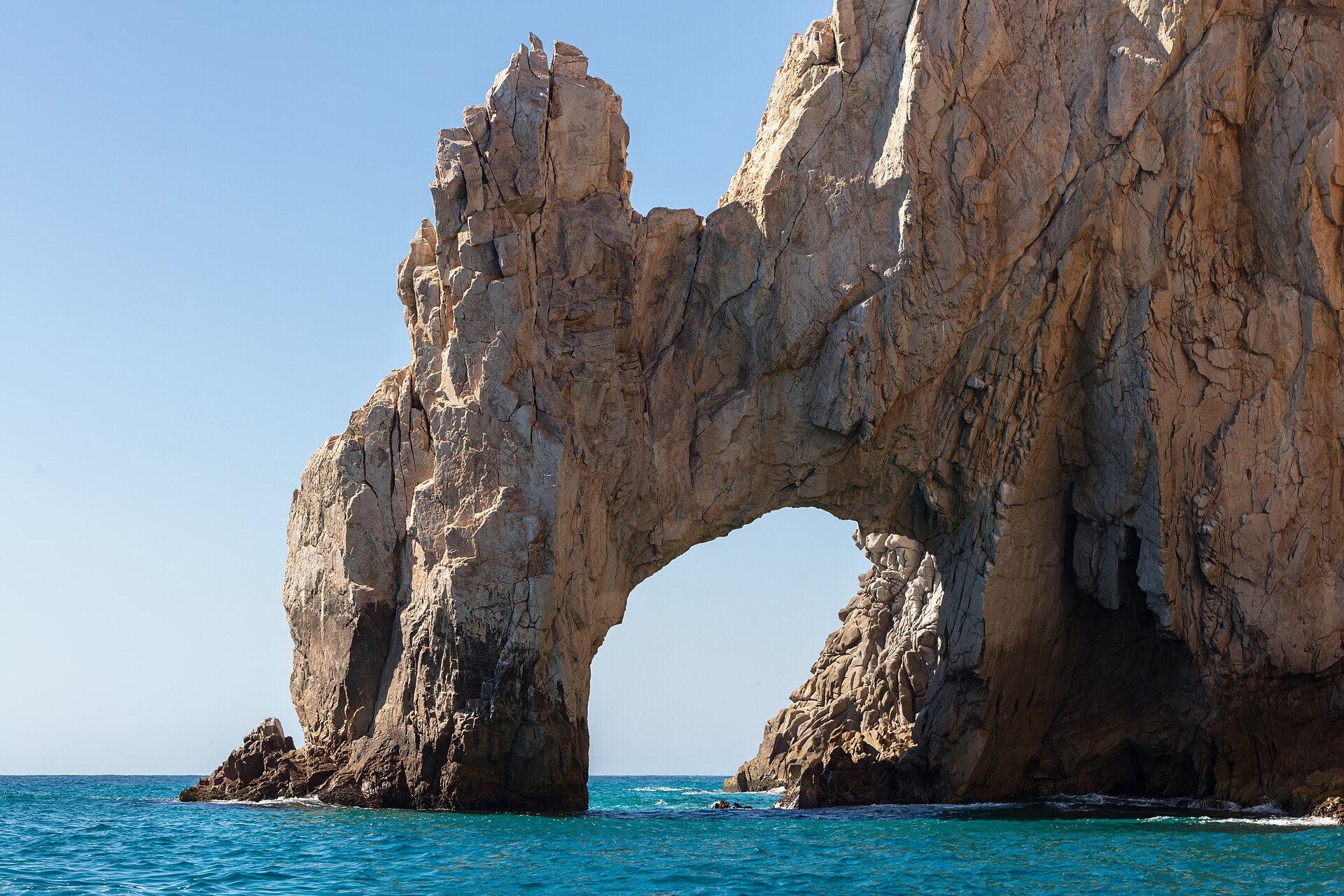
By our measurement from those coordinates, that point is roughly 70 miles (110 km) south-east of Cabo San Lucas, at the tip of the Baja California peninsula. The NHC gives Cabo San Lucas a 6% five-day chance of tropical-storm winds and San José del Cabo 7%, with the biggest slice, 4%, falling between Monday and Tuesday.
Trudy’s moisture is also reaching well beyond the Pacific coast, because the SMN says it will meet cold front number 2. The service forecast 200 to 300 mm (8 to 12 inches) of rain in the Huasteca, parts of San Luis Potosí, Querétaro, Hidalgo and Puebla, between Friday and Sunday, as Vanguardia reported.
What Could Change the Forecast
The 2 p.m. ET advisory cut Trudy’s winds from 120 mph (195 km/h) to 110 mph (175 km/h) after satellite wind data showed a weaker storm. An Air Force Reserve Hurricane Hunter aircraft was approaching the hurricane, and its readings feed the next advisory.
Even so, the NHC still expects a major hurricane at the closest approach, which means Category 3 or stronger on its wind scale. A slightly weaker storm does not remove the rain risk, because the NHC ties life-threatening flooding and mudslides to steep terrain along the Michoacán, Colima and Jalisco coast.
What It Means for You
For US travellers the Hurricane Trudy forecast comes down to timing, because tropical-storm winds could reach Manzanillo on Saturday, Puerto Vallarta overnight into Sunday and Baja California Sur only next week, if at all. Airline, hotel and insurer terms are set by those companies, and we could not confirm any Trudy-specific closures.
Our checklist, Hurricane Trudy Safety Precautions in Jalisco and Colima, sets out official guidance on shelters, rip currents and go-bags. Earlier reports are Hurricane Trudy Hits Category 3 Off Mexico and Mexico Shuts Nine Ports, Moves 579 to Safety Over Simon, which covers Hurricane Simon, an earlier storm that threatened the same coast on 11 October.
Visitors in the resort city can use the Puerto Vallarta City Guide for Expats and Visitors and What to Do in Puerto Vallarta in October 2026, since events may change. Longer-stay readers can turn to Safety in Mexico for Expats: A Practical Guide (2026) and Expats in Mexico for the wider picture.
What Prediction Markets Say
At 2:14 p.m. ET on Friday 16 October, Polymarket priced a Category 4 peak for Trudy at 52.5 cents, down from 60.5 cents at 2:01 p.m. ET, and a Category 3 peak at 47 cents. A Category 5 peak stood at 7.35 cents.
The “How strong will Trudy be?” market pays on the highest category in any NHC advisory and has traded about US$12,700, which is thin. These are bets on strength, not on the place the centre passes, and a price of 52.5 cents reads as a 52.5% chance.
Why we show this: prediction markets turn real-money bets into a live probability that moves within minutes of the news, which is why investors, campaigns and newsrooms in the United States now follow them closely. We show them next to polls and official results, never instead of them.
What Is Not Known
The Hurricane Trudy forecast cannot yet say where or when the centre crosses or skirts the coast, and the NHC and the SMN differ on how close it comes. Which towns will receive evacuation orders, and whether airports, ports and roads close, was not confirmed in the official sources we checked.
The forecast table and wind probabilities come from the NHC’s 11 a.m. ET package and may change with the 5 p.m. ET advisory. The SMN quoted winds of 220 km/h (about 137 mph) on Friday morning, above the NHC’s 175 km/h, and we cannot explain the gap from the sources.
How far Trudy drifts after Sunday is the least certain part, since the NHC says its models split between a westward and a northward path. The Baja California Sur odds are small today, and each full advisory will update them.
Frequently Asked Questions
Where will Hurricane Trudy hit next?
The NHC expects the centre to approach the coast of southwestern and west-central Mexico on Saturday and pass near it on Saturday night into Sunday. It does not yet say where along that coast, or whether, the centre crosses.
When could tropical-storm winds reach Puerto Vallarta?
The NHC’s probabilities put the likeliest start overnight from Saturday into Sunday, with a 36% chance in that window. Over five days the chance of tropical-storm winds there is 51%.
Could Hurricane Trudy reach Baja California Sur?
The NHC forecast ends with a weak post-tropical low south-east of Cabo San Lucas on Wednesday 21 October. Its chance of tropical-storm winds at Cabo San Lucas is 6% over five days.
Is Trudy still a major hurricane?
At 2 p.m. ET on Friday it was a Category 2 hurricane with 110 mph (175 km/h) winds. The NHC still expects a major hurricane, Category 3 or stronger, when it is closest to Mexico.
Where can I follow the latest forecast?
The NHC issues a full advisory every six hours, and the next is due at 5 p.m. ET. For local detail it tells people to follow their national weather service, the SMN.
Sources: National Hurricane Center, Intermediate Advisory 13A, 16 October 2026; National Hurricane Center, Forecast Discussion 13, 16 October 2026; National Hurricane Center, Wind Speed Probabilities 13, 16 October 2026; National Hurricane Center, Saffir-Simpson Hurricane Wind Scale; Tribuna de la Bahía, 16 October 2026; López-Dóriga, 16 October 2026; Vanguardia, 16 October 2026. Prediction-market prices from Polymarket public data, 16 October 2026, 2:14 p.m. ET.
This article was produced by The Rio Times’ automated newsroom system. How we use AI · Report an error · Editorial responsibility: Matthias Camenzind, Editor-in-Chief