Argentina Prepares El Nino Flood Response With Mobile Hospitals
Argentina · Weather
Key Facts
- —What happened Argentina activated a federal health alert for El Nino, with mobile hospitals ready for flood-hit provinces.
- —How big a jump The map counts 5,476,680 potentially floodable hectares across seven provinces (Buenos Aires, Santa Fe, Entre Rios, Corrientes, Misiones, Formosa, Chaco).
- —The real story The plan signals expected water damage, already cutting 2026/27 maize area by 7.3% to 10.4 million hectares (US$…).
- —The catch This is a sanitary alert, not a formal emergency, and the 5.4 million hectares are at risk (US$…).
- —Who it touches Santa Fe spent ARS 5.8 billion (US$3.9 million) cleaning 352 km of canals, protecting 1.2 million hectares in 51 districts.
- —What comes next Watch at-risk zones for port bottlenecks and lower exports if heavy rains hit, as southern wheat planting delays persist.
A federal health alert system tracks 5.4 million potentially floodable hectares with mobile hospitals ready for the worst-hit provinces.
Argentina has activated a federal health alert and early-response system for the coming El Nino season. The plan uses mobile hospitals and geospatial mapping to prepare for floods, not a formal state of emergency. The system is a device for sanitary alert and early response, designed to act fast when rivers rise and roads fail.
A federal response, not a state of emergency
The health ministry and the Federal Emergency Agency presented the system in August 2026. It is a device for sanitary alert and early response, not a formal national emergency declaration.
The plan includes mobile health patrols, forward stabilisation posts and modular hospitals of low and medium complexity. There is no national emergency declaration with that name and date.
The mobile hospital is a key piece. If the transfer is under 72 hours, it moves by road, otherwise by air.
This setup lets doctors reach flooded areas quickly without waiting for local roads to fail. The system is designed to work in the most exposed provinces.
Mapping the land that could go under water
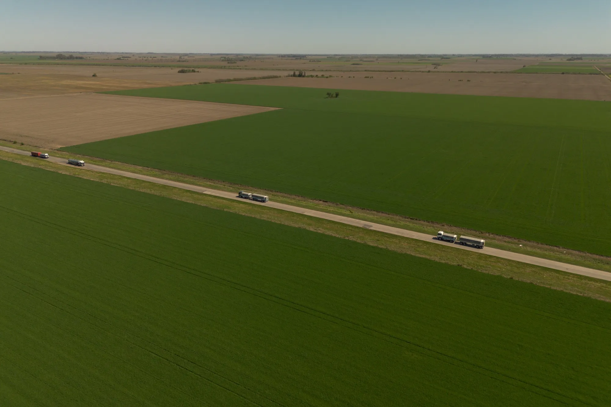
The geospatial monitoring tool identifies 5,476,680 hectares as potentially floodable. This is an area at risk, not land already under water.
The figure appeared in coverage on 13-14 August 2026. It covers Buenos Aires, Santa Fe, Entre Rios, Corrientes, Misiones, Formosa and Chaco.
The tool uses software and cartographic analysis to track weather patterns. It helps provinces decide where to send patrols and hospitals first.
The 5.4 million hectares is the area that could go under water, not the area that has. It is a planning figure, and worth keeping straight.
Santa Fe digs out before the rain
Santa Fe province reported a canal cleaning operation of 352 kilometres. The investment exceeds ARS 5.8 billion (about US$ 3.9 million).
This work benefits 51 districts and more than 1.2 million productive hectares. The goal is to drain water faster when heavy rain comes.
The province is among those with the highest risk in the federal map. Its low-lying farmland is vulnerable to river rises.
Officials say the work helps protect crops and roads before the wet season peaks. The investment is a local buffer against the coming weather.
Wheat and maize feel the water already
Wheat planting was practically finished at 99.6% of a projected 6.5 million hectares. The Bolsa de Cereales de Buenos Aires said delays remain in the south.
Excess water slowed work in the southern part of the farm belt. The wet soil makes it hard for machinery to move.
For maize, the Rosario exchange projects the 2026/27 area down 7.3% to 10.4 million hectares. That is a fall of 600,000 hectares.
Production is estimated at 66 million tonnes. Farmers are shifting some land away from maize because of flood risk.
Why this matters for Latin America investors
El Nino floods can disrupt food exports from Argentina, a top global supplier of wheat, maize and soy. Any delay in planting or harvest moves world prices.
The mobile hospitals protect people, but they also sign the government expects real water damage. That expectation is already shaping crop forecasts.
For investors, watch the 5.4 million hectares at risk. If heavy rains hit those zones, expect port bottlenecks and lower export volumes.
The canal work in Santa Fe is a sign of local spending to protect production. It is a small buffer against a very large weather risk.
More: Argentina news in English, every day from The Rio Times.
Frequently Asked Questions
Has Argentina declared a state of emergency for El Nino?
No. There is no formal national emergency declaration. The government activated a federal health alert and early-response system with mobile hospitals.
How many hectares could flood in Argentina?
The government’s monitoring tool identifies 5,476,680 hectares as potentially floodable. This is a risk area, not land already under water.
Which provinces are most at risk?
Buenos Aires, Santa Fe, Entre Rios, Corrientes, Misiones, Formosa and Chaco face the highest vigilance for heavy rain and floods.
How will the mobile hospitals work?
The mobile units can travel by road if the trip is under 72 hours, otherwise by air. They provide low and medium complexity care.
Connected Coverage
Latin American Pulse for Thursday, July 23, 2026
Latin American Pulse July 21 2026: Tariffs, Storms, Graft
Argentina Cuts Export Taxes, Floods Wheat Market, And Forces Europe To Discount
Sources: infobae.com; diariohuarpe.com; mnews.com.ar; cadena3.com; lagaceta.com.ar
This article was produced by The Rio Times’ automated newsroom system. How we use AI · Report an error · Editorial responsibility: Matthias Camenzind, Editor-in-Chief