NIGERIA · REGIONAL RELATIONS
Key Facts
- —What it is Nigeria shares roughly 4,000 to 4,500 kilometres of land borders, depending on the source, with Benin, Niger, Chad and Cameroon, plus an 853-kilometre Gulf of Guinea coastline.
- —Why it matters Nigeria is West Africa’s demographic and economic heavyweight, and its domestic decisions on trade, security and migration ripple across the entire region.
- —The numbers Bilateral trade with Benin was approximately US$2 billion annually as of May 2026, according to Vice President Kashim Shettima, who also estimated five million Nigerians live in Benin.
- —The catch The withdrawal of Burkina Faso, Mali and Niger from ECOWAS has weakened regional cooperation, leaving 12 member states as of October 2026.
- —What it means for you Anyone doing business, travelling or investing in Nigeria must understand its neighbours, because borders, trade routes and security conditions shape daily life and commercial risk.
Nigeria neighbours are not a backdrop; they are the daily reality of trade, migration and security for Africa’s largest economy. Understanding Benin, Niger, Chad and Cameroon is essential for anyone engaging with Nigeria.
Nigeria sits at the hinge of West and Central Africa, with a population larger than any other African country and an economy that pulls goods, workers and capital across its frontiers. This guide explains how Nigeria relates to its four land neighbours, what those relationships mean in practice, and where they are heading in 2026.
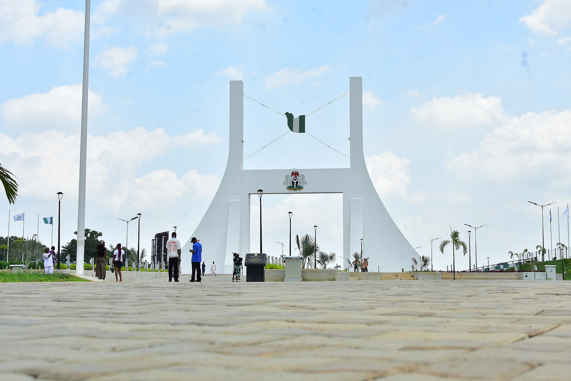
The Physical Map of Nigeria’s Neighbourhood
Nigeria’s land borders stretch roughly 4,000 to 4,500 kilometres, depending on the source. The country touches Benin to the west, Niger to the north, Chad to the northeast and Cameroon to the east and southeast. Its roughly 853-kilometre coastline along the Gulf of Guinea gives it maritime interests involving Benin, Cameroon, Equatorial Guinea and Ghana.
The longest land boundary is with Cameroon, followed by Niger and Benin. The Chad border is the shortest.
The National Boundary Commission describes Nigeria’s borders as spaces of both economic interaction and exposure. Smuggling, irregular migration, transnational crime and security threats move across the same routes as legitimate trade, family visits and pastoral movement. This dual character defines every relationship Nigeria has with its neighbours.
Maritime boundaries add another layer. Nigeria’s maritime boundary with Benin is defined by treaty, while negotiations remained unresolved over limited areas involving Equatorial Guinea and Ghana as of September 2026. These maritime questions matter for fishing rights, offshore energy and port access.

Benin: Trade Intimacy and Recurring Friction
Nigeria and Benin are economically interdependent despite their asymmetry. Nigeria supplies a large share of the goods consumed in Benin, while Benin’s port and trading networks have historically been used to move goods into Nigeria, legally and illegally. The Seme–Krake border crossing is one of West Africa’s most important commercial chokepoints.
Vice President Kashim Shettima said in May 2026 that bilateral trade was approximately US$2 billion annually. He also stated that around five million Nigerians live in Benin, a figure that should be treated as a political estimate rather than a fully harmonised census statistic. Even allowing for uncertainty, the number signals how deeply the two societies are intertwined.
The two countries have tried to convert informal border interaction into managed regional commerce. Their cooperation includes the ECOWAS Trade Liberalisation Scheme, the ECOWAS Common External Tariff, border-security coordination and a memorandum of understanding for cooperation among local governments, traditional rulers and border communities. The local-government arrangement covers communities around Seme, Igbokofi and Ilara on the Nigerian side and neighbouring Beninese communities.
Citizens of both countries may generally enter and remain in the other for up to 90 days without a visa, subject to identity, immigration and other legal requirements. This is the ECOWAS free movement framework in action, though the gap between regional law and border experience remains wide.
The relationship is vulnerable to unilateral policy decisions. Nigeria’s 2019 land-border restrictions, introduced to curb smuggling and protect domestic agriculture and manufacturing, severely affected Beninese traders and transporters. Although the policy was later modified and borders reopened in stages, the episode demonstrated that Nigeria’s domestic economic policy can have immediate regional consequences. In 2026, ECOWAS and TradeMark Africa were improving signage and facilities at Seme–Krake, including border guidance, scanners, weighbridges, roofing and air-conditioning at administrative and customs facilities.
Niger: The Most Consequential Northern Relationship
Nigeria’s relationship with Niger is shaped by geography, ethnicity, commerce and security. The border cuts through communities with close Hausa, Kanuri, Tuareg and other social and linguistic ties. Families, traders, pastoralists and religious networks operate across the frontier, often more fluidly than the formal state border allows.
The relationship deteriorated after Niger’s July 2023 military coup. ECOWAS, then chaired by Nigeria’s president, imposed sanctions and threatened military intervention to restore constitutional government. Nigeria’s role was particularly prominent because it is the region’s largest military and economic power and because President Bola Ahmed Tinubu was serving as ECOWAS chairman at the time.
That confrontation did not become a war, but it damaged political trust. Niger, together with Mali and Burkina Faso, subsequently withdrew from ECOWAS and formed the Alliance of Sahel States. By October 2026, ECOWAS officially listed 12 member states: Benin, Cabo Verde, Côte d’Ivoire, The Gambia, Ghana, Guinea, Guinea-Bissau, Liberia, Nigeria, Senegal, Sierra Leone and Togo. Niger, Mali and Burkina Faso were no longer included in that list.
The practical relationship between Nigeria and Niger has continued despite the political rupture. Border communities still depend on cross-border trade, transport and family networks. Nigeria’s government has also continued to distinguish between security closures and general trade policy. According to Nigeria’s interior minister, Olubunmi Tunji-Ojo, the Kamba and Tsamiya crossings in Kebbi State, linking Nigeria with Niger and Benin, were opened in February 2026.
Security remains the central concern. Northern Nigeria and southern Niger face overlapping threats from jihadist groups, bandit networks, arms trafficking and kidnapping. The deterioration of regional military coordination after the coups has complicated intelligence-sharing and counterterrorism operations. Yet neither country can easily seal the border: the frontier is too long, communities are too interlinked and legitimate trade is too important.
Chad and the Lake Chad Security System
Nigeria’s border with Chad is short, approximately 87 kilometres, but the two countries are linked through the wider Lake Chad basin. The basin also includes Cameroon and Niger, making security cooperation inherently multilateral. Lake Chad is not simply a water resource; it is a security, migration, fisheries, agriculture and pastoralism system.
Changing water levels and shrinking productive zones have intensified competition over land and livelihoods, while insurgent organisations exploit difficult-to-govern areas and cross-border movement. Nigeria, Chad, Cameroon and Niger have worked through the Multinational Joint Task Force, whose purpose is to coordinate operations against Boko Haram and associated armed groups. The effectiveness of this framework has varied with domestic politics, military capacity and relations with external partners.
The Nigeria–Chad relationship is therefore less about bilateral trade volume than about strategic depth. Chad’s military geography affects Nigeria’s northeastern states, while insecurity in Borno and Yobe can spread through the Lake Chad basin. The countries also share interests in managing refugees, pastoral mobility, arms flows and humanitarian access.
Cameroon: Rivalry, Arbitration and Practical Cooperation
Nigeria and Cameroon have the most complex bilateral relationship among Nigeria’s neighbours. The central historical dispute concerned the Bakassi Peninsula and adjacent territory. The International Court of Justice ruled in 2002 that sovereignty over Bakassi belonged to Cameroon. The transfer was implemented through the United Nations-backed Greentree Agreement.
The legal dispute was settled, but physical demarcation and local administration have remained difficult. Nigerian and Cameroonian communities on both sides of the boundary retain close social and economic links, and some areas remain affected by insecurity and limited state presence. Nigerian boundary officials expected physical demarcation of the Cameroon frontier to be completed before the end of 2026 (the UN-backed timetable targets the end of 2027).
Security cooperation has become more important than the old territorial dispute. Nigeria and Cameroon signed a memorandum of understanding on bilateral defence cooperation covering the shared southern border and maritime security in the Gulf of Guinea. Both countries also cooperate with Chad and Niger through Lake Chad security arrangements.
Energy and water infrastructure provide another potential area of cooperation. A proposed project downstream of Cameroon’s Lagdo Dam is intended to support electricity generation, flood control and irrigation while strengthening economic ties with Nigeria. The project is strategically sensitive because releases from Lagdo have previously contributed to flood concerns in downstream Nigerian communities, while Nigeria needs additional regional power and water-management capacity.
The relationship combines legal finality with operational friction: the territorial question is largely settled, but border control, insurgency, maritime security, migration and infrastructure continue to require negotiation.
The Lagos–Abidjan Corridor: Nigeria’s Western Economic Gateway
The proposed Lagos–Abidjan Corridor is the most important regional transport project linking Nigeria to its western neighbours. The route is planned to connect Lagos with Benin, Togo, Ghana and Côte d’Ivoire over approximately 1,028 kilometres. Nigeria’s section is approximately 79.5 kilometres, according to the Federal Ministry of Works.
The Nigerian government has proposed a higher-capacity design for its portion, including reinforced-concrete pavement and three lanes in each direction, rather than the original two-lane ECOWAS standard. The corridor matters because it links Nigeria’s population and consumer market with the ports and logistics systems of Lagos, Cotonou, Lomé, Tema and Abidjan, as well as manufacturing and agricultural supply chains.
The corridor also illustrates a recurring Nigerian pattern: Nigeria is large enough to determine regional demand, but not always able to deliver the cross-border infrastructure required to serve it efficiently. A road project that stops at the national frontier cannot produce its full value unless customs systems, security procedures, road standards and border facilities are coordinated across all five countries.
Migration: A Regional Labour Market, Not Just a Security Issue
West African migration is highly circular. People move for work, trade, education, marriage, pastoralism and family reasons, often within communities that predate modern borders. A Nigerian government fact file estimated 7.64 million international migrants in West Africa and 7.4 million intra-West African migrants, although definitions and reference years must be checked before using the figures as directly comparable current estimates.
Nigeria is both a destination and a source country. Its large economy attracts workers and traders from neighbouring states, while Nigerians migrate throughout West Africa. Benin is particularly interconnected with Nigeria; Nigerian officials’ estimate of five million Nigerians resident in Benin highlights the scale of the relationship, although the number likely includes varying categories of residents, temporary workers and undocumented migrants.
ECOWAS free movement provides the legal framework for this mobility. In practice, travellers face identity-document requirements, unofficial payments, customs inspections, vehicle restrictions and periodic security closures. The gap between regional law and border experience is one of the main barriers to deeper integration.
Border infrastructure improvements at Seme–Krake and other joint posts are intended to reduce those frictions. ECOWAS said its 2026 signage programme would clarify the location of customs, immigration and security checkpoints, reduce delays and improve the movement of traders, transporters and travellers.
What This Means for Foreigners, Investors and Expats
Anyone doing business in Nigeria must think beyond Lagos and Abuja. Supply chains, labour markets and security conditions are shaped by what happens in Cotonou, Niamey, N’Djamena and Yaoundé. A customs delay at Seme–Krake can raise costs across the entire Lagos–Abidjan corridor. A security deterioration in the Lake Chad basin can affect agricultural production and transport in northeastern Nigeria.
The ECOWAS framework still offers real advantages: visa-free movement for up to 90 days, preferential trade arrangements and shared standards. But the withdrawal of Niger, Mali and Burkina Faso has created a more fragmented region. Investors should not assume that regional agreements will be implemented uniformly or predictably.
The most practical advice is to treat Nigeria’s neighbourhood as part of the Nigerian market. Benin’s port networks, Niger’s livestock and food trade, Chad’s security geography and Cameroon’s infrastructure links all affect Nigerian costs, risks and opportunities. A strategy that ignores Nigeria neighbours is incomplete.
What to Watch
The physical demarcation of the Nigeria–Cameroon border is expected to be completed before the end of 2026 (the UN-backed timetable targets the end of 2027), according to Nigerian boundary officials. This would close a long-running administrative chapter, though local frictions may persist.
The Lagos–Abidjan Corridor will be a test of regional coordination. Nigeria’s decision to build a higher-capacity section is ambitious, but its value depends on what Benin, Togo, Ghana and Côte d’Ivoire do on their own sections. Watch for announcements on funding, construction timelines and border-facility upgrades.
The relationship between ECOWAS and the Alliance of Sahel States remains unresolved. Whether Niger, Mali and Burkina Faso eventually re-engage with ECOWAS, or whether a parallel regional order consolidates, will shape trade, security and migration across the Sahel and northern Nigeria for years to come.
Finally, watch the Seme–Krake border post. The improvements being made there in 2026 are modest, but they signal whether Nigeria and Benin can move from informal interdependence to managed integration. If the border works better, the entire western corridor benefits. If it remains a bottleneck, the costs will be felt from Lagos to Abidjan.
Frequently Asked Questions
Which countries border Nigeria?
Nigeria shares land borders with Benin, Niger, Chad and Cameroon. Its coastline along the Gulf of Guinea also gives it maritime interests involving Benin, Cameroon, Equatorial Guinea and Ghana.
How long is Nigeria’s border with Cameroon?
Nigeria’s longest international boundary is with Cameroon. Nigerian boundary officials expected physical demarcation of this frontier to be completed before the end of 2026 (the UN-backed timetable targets the end of 2027).
How much trade does Nigeria do with Benin?
Vice President Kashim Shettima said in May 2026 that bilateral trade between Nigeria and Benin was approximately US$2 billion annually. He also estimated that around five million Nigerians live in Benin.
Is Niger still a member of ECOWAS?
No. Niger, together with Mali and Burkina Faso, withdrew from ECOWAS and formed the Alliance of Sahel States. By October 2026, ECOWAS officially listed 12 member states, and Niger was not among them.
Can Nigerians travel to Benin without a visa?
Citizens of Nigeria and Benin may generally enter and remain in the other country for up to 90 days without a visa, subject to identity, immigration and other legal requirements under the ECOWAS free movement framework.
What is the Lagos–Abidjan Corridor?
The Lagos–Abidjan Corridor is a planned road route connecting Lagos with Benin, Togo, Ghana and Côte d’Ivoire over approximately 1,028 kilometres. Nigeria’s section is approximately 79.5 kilometres, according to the Federal Ministry of Works.
What is the Multinational Joint Task Force?
The Multinational Joint Task Force is a security framework involving Nigeria, Chad, Cameroon and Niger. Its purpose is to coordinate operations against Boko Haram and associated armed groups in the Lake Chad basin.
Sources: ecowas.int, ecowas.int, ecowas.int, ecowas.int, ecowas.int, ecowas.int. Retrieved 2 October 2026.
This article was produced by The Rio Times’ automated newsroom system. How we use AI · Report an error · Editorial responsibility: Matthias Camenzind, Editor-in-Chief
Read More from The Rio Times