Why Santiago Flooding Hits Las Condes and the Foothills

CHILE · ANALYSIS
Key Facts
- —The country Chile is a stable South American democracy and the world’s top copper producer, with its capital Santiago in a valley below the Andes.
- —What happened A mudslide swept cars through San Carlos de Apoquindo, in the eastern Santiago district of Las Condes, on Thursday 8 October.
- —Why there Steep ravines called quebradas drain the Andes foothills straight into streets and homes built on the lower slopes.
- —The triggers Experts point to slopes stripped by a wildfire of more than 1,000 hectares and to warm rain falling on mountain snow.
- —The alert gap No emergency phone alert was sent; Senapred, the national disaster agency, said the slide came too suddenly.
- —What it means for you Residents and visitors in eastern Santiago should keep phone alerts on and avoid ravines whenever rain alerts are in force.
- —Still open Planned mudflow barriers were not installed when the slide hit, and prosecutors are still investigating its origin.
Santiago flooding is most violent where Chile’s capital climbs into the Andes, and Thursday 8 October showed why. A torrent of mud swept cars through San Carlos de Apoquindo in Las Condes, as our report on the Las Condes mudslide describes.
Experts quoted by Chilean media say the slide was no freak event. Burned hillsides, warm rain on snow and homes near ravines combined, and the same Santiago flooding risk hangs over other eastern districts.
How the Andes Foothills Drain Into the City
Eastern Santiago sits on the piedmont, the sloping apron where the Andes meet the valley floor. Ravines called quebradas cut down these slopes, and in heavy storms they funnel water, mud and rocks into the streets below.
Eight main ravines in the Santiago foothills can generate mudslides, Cristián Salazar, head of the geology school at Universidad Mayor, told Emol. He named areas such as San Carlos de Apoquindo, Aguas de Ramón, Lo Cañas and Macul, between the Mapocho and Maipo rivers.
In Las Condes, smaller ravines fed one channel, Quebrada Honda, emergency management expert Michel De L’Herbe told Meganoticias. Once the flow reached the city, he said, the sloping streets acted like a natural water slide.
Pablo Allard, dean of architecture at Universidad del Desarrollo, said the ravine is piped underground at Francisco Bulnes Correa street. Such collectors are designed for flows expected every 50 or 100 years, he told The Clinic.
Rain on Snow and Burned Slopes Behind Santiago Flooding
The storm arrived warm, with the freezing level above 2,600 metres, about 8,500 feet, Arnaldo Zúñiga of the national weather service told Emol. Rain therefore fell on earlier mountain snow and sped up the melt, De L’Herbe told Meganoticias.
Allard made the same point, saying the zero-degree line sat very high during the storm. Below that line, precipitation falls as rain rather than snow, so more water runs off at once.
The hills above San Carlos de Apoquindo had burned in a wildfire of more than 1,000 hectares, about 2,500 acres, in late December 2025. The fire removed the plants that worked like a sponge, De L’Herbe said.
Water specialist Pablo Silva Jordán told Pauta that burned soil can literally repel water. He estimated that the basin could need five to ten years to recover.
More than 100 millimetres of rain, about four inches, had soaked the slopes in the days before the slide. The ground was already saturated when Thursday’s short, intense downpour hit, Zúñiga told Emol.
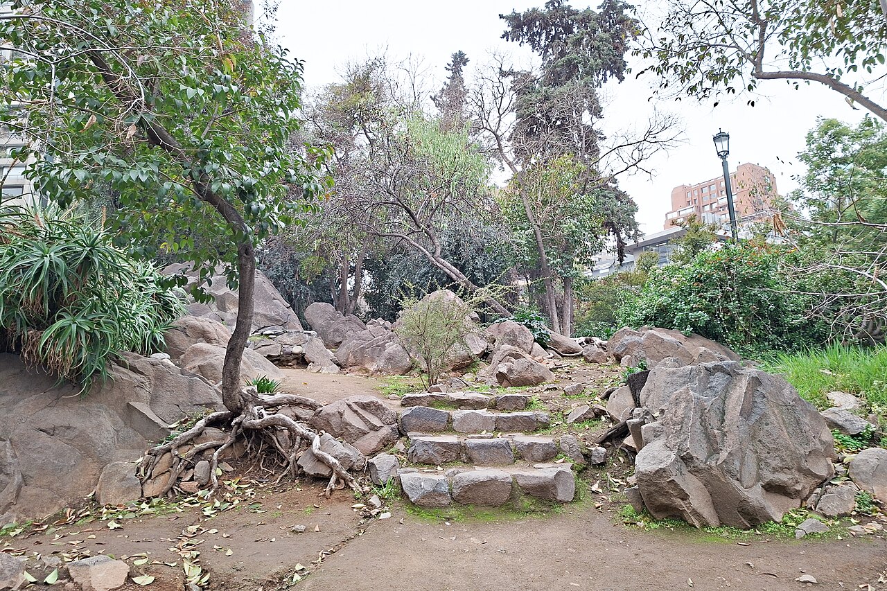
Homes Built Where the Ravines Meet the City
Santiago should not grow above 1,000 to 1,200 metres (3,300 to 3,900 feet), Universidad de Chile geographer Pablo Sarricolea told 24horas. That has been said for years, yet many developments already sit above that line, he added.
He named four other high-risk ravines on the foothills besides Quebrada Honda. They are Aguas de Ramón in La Reina, Las Perdices in Peñalolén and La Florida, and Lo Planella and Las Vizcachas in Puente Alto.
The university’s geography department and CR2, the Center for Climate and Resilience Research, built an online viewer of these hazards. It shows the risk of each ravine being activated, district by district, according to 24horas.
Álvaro Hormazábal, a former director of Senapred, Chile’s national disaster agency, told T13 that a Universidad de Chile hazard map matched the slide exactly. He urged avoiding building in danger zones, or at least keeping hospitals and kindergartens out of them.
Warnings That Came Before the Slide
The Santiago flooding danger in Las Condes was on paper months earlier. In February, Sernageomin, the state geology service, sent Senapred a technical report on smaller mudflows of 31 January in the same area.
According to Pauta, the report asked Senapred to draw up evacuation plans and monitor mountain weather. Sernageomin director Mauricio Toro told Emol that such reports carry recommendations and are not binding.
On 24 June, a Las Condes municipal report warned that after a fire the main danger is not fire but water. It put the period of highest exposure at one to three years, Emol and Pauta reported.
In August, officials announced five flexible nets to catch rocks and mud, worth CLP 754 million (about US$772,000) from the public works ministry. They were not installed on 8 October, and Mayor Catalina San Martín said rain and ground conditions kept machinery out.
Why No Phone Alert Reached Las Condes
Chile’s Emergency Alert System, known by its Spanish initials SAE, sends warnings to every compatible phone in a risk zone. Senapred says its purpose is to get people out of danger from tsunamis, wildfires, eruptions or mudslides.
No SAE message went out before the slide, and Senapred’s red alert for ten foothill districts began at 6:20 p.m., after the mud hit. Its national director, Alicia Cebrián, called it a sudden event that left no time for a preventive evacuation.
Interior Minister Claudio Alvarado argued that a message could have caused more confusion, because officials could not yet define where to evacuate. The capital region was already under a yellow alert for the storm, Cebrián said.
Cebrián also said that Chile has no monitoring of mass movements such as landslides, Pauta and El Desconcierto reported. Officials’ fuller account is in our report on why no alert hit Las Condes.
What the Weather Service Expects Next
Chile’s state weather service expects above-normal rain from parts of Coquimbo to Los Ríos from October to December, Meteored reported on 29 September. That belt of central Chile includes Santiago and its foothills, so Santiago flooding remains a risk this season.
Its earlier outlook for September to November, reported by 24horas, also pointed to above-normal rain. The service stresses that these outlooks show a three-month trend and cannot predict single storms.
Sernageomin raised its landslide warning for the area to high on Monday 12 October, before new storms. Officials then evacuated damaged homes and closed 21 schools, as detailed in our report on the school closures.
What It Means for US Readers
Las Condes is a wealthy district and a common base for foreign families, offices and international schools. Anyone renting in Santiago near the foothills should ask how close the home sits to a quebrada, since the worst Santiago flooding runs down them.
Keep emergency alerts switched on, since SAE messages reach compatible phones in the affected zone. Visitors should avoid ravines, riverbanks and foothill trails whenever a rain alert is in force.
The Las Condes municipality lists its security line, 1402, alongside its main number, +56 2 2950 7000. Follow Senapred, the weather service and the municipality for Santiago flooding alerts, evacuation orders and road closures.
What Is Not Known
Prosecutors in eastern Santiago are investigating the origin of the slide and any criminal responsibility, BioBioChile and La Tercera reported. It is not known when they will report their findings on the Las Condes slide.
Officials have not said when the flexible nets will be installed. Nor have they said whether Sernageomin will formally classify the sector as a risk zone, as the mayor has requested.
There is no final count of damaged homes yet. The first figure of 55 homes lost completely has since grown, presidential delegate Germán Codina said, according to Emol.
More: Chile news in English, every day from The Rio Times.
Frequently Asked Questions
Why does Santiago flooding hit Las Condes so hard?
Las Condes climbs into the Andes foothills, where Santiago flooding runs down steep ravines called quebradas into streets and homes. A summer wildfire had stripped the slopes, and warm rain fell on mountain snow.
What is an aluvión?
An aluvión is a fast flow of water, mud, rocks and logs down a ravine. In Las Condes one swept cars through San Carlos de Apoquindo on 8 October.
Why was no emergency phone alert sent?
Senapred, the national disaster agency, said the slide was sudden and left no time for a preventive evacuation. The interior minister said a message could have caused confusion over where to evacuate.
Is more rain expected in Santiago this season?
The national weather service expects above-normal rain in central Chile from October to December, so Santiago flooding remains possible. Visitors should follow Senapred and avoid ravines during rain alerts.
Sources: Emol, 9 October 2026; Emol, 9 October 2026; Pauta, 9 October 2026; Pauta, 9 October 2026; Pauta, 9 October 2026; 24horas, 9 October 2026; 24horas, 9 October 2026; 24horas, 28 August 2026; El Desconcierto, 9 October 2026; Meganoticias, 9 October 2026; The Clinic, 8 October 2026; T13, 10 October 2026; Meteored, 29 September 2026; Municipalidad de Las Condes, 12 October 2026; Senapred (SAE emergency alert system), 13 October 2026; Emol (Dirección Meteorológica de Chile), 9 October 2026; El Dínamo (Senapred red alert), 8 October 2026; El Desconcierto (fire and causes), 9 October 2026.
This article was produced by The Rio Times’ automated newsroom system. How we use AI · Report an error · Editorial responsibility: Matthias Camenzind, Editor-in-Chief
Living in or visiting Santiago? See this month's events and our Santiago city guide with rents, safety and upcoming concerts.