Three things to know
- Rodízio returns to normal for plates ending 3 and 4 — restrictions apply 7h–10h and 17h–20h in the Centro Expandido.
- Defesa Civil state alert remains active — storms with hail risk continue through today, focused on western São Paulo state.
- Weather stays unstable — expect sun in the morning but strong afternoon rain with lightning, wind gusts, and potential flooding. Temperatures between 20°C and 28°C.
Traffic & Mobility
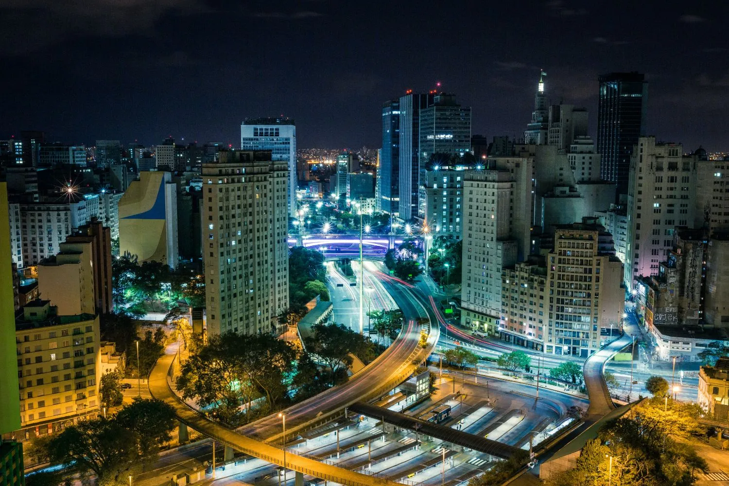
The week continues under storm-recovery conditions. Rodízio applies today to plates ending in 3 and 4 during peak windows (7h–10h and 17h–20h) inside the Centro Expandido — the zone bounded by the Marginais Tietê and Pinheiros, Avenida dos Bandeirantes, and Avenida Salim Farah Maluf. Violations result in a R$130.16 fine and four points on the CNH.
After Sunday’s storm knocked out power to more than 114,000 customers at peak, residual outages persisted into Monday morning. Enel reported roughly 13,700 properties still without electricity in the municipality as of Monday morning.
Saturated soil raises the stakes for any afternoon downpour — flooded streets, blocked intersections, and elevator outages remain practical risks.
Weather & State Alert
The Defesa Civil state alert issued Sunday remains in effect through today. The forecast calls for persistent rains accompanied by lightning, strong wind gusts (potentially exceeding 50 km/h), and isolated hail.
The heaviest rainfall is expected in the western interior near the Paraná border, but the capital faces medium-level risk under the same system.
Regional risk levels:
- Very high: Vale do Ribeira, Região de Itapeva
- High: Regiões de Sorocaba and Bauru
- Medium: Região Metropolitana da Capital Paulista, Baixada Santista, Litoral Norte, Serra da Mantiqueira, Campinas, and surrounding areas
Tuesday’s pattern for the city: sun with increasing clouds in the morning, followed by showers and thunderstorms between late afternoon and early evening.
The CGE warns of potential flooding, particularly in areas where recent rains have already saturated the ground. Streams in Campo Limpo and Vila Prudente were already at alert status on Monday afternoon.
The Centro de Gerenciamento de Emergências maintains 24-hour monitoring, with the Gabinete de Crise operating remotely and all utility concessionaires on standby. In case of worsening conditions, the crisis cabinet moves to in-person operations.
Today’s Forecast
| Morning | Afternoon | Evening | |
|---|---|---|---|
| Sky | Sun with increasing clouds | Cloudy with storms | Cloudy, stabilizing |
| Rain | Unlikely | Strong showers, lightning | Diminishing |
| Wind | Light | Gusts 50+ km/h possible | Moderate |
| Temp | 20°C | 28°C | 23°C |
Accumulated rainfall expected: approximately 13 mm through the day.
Practical Guidance
- Avoid areas prone to flooding and do not cross inundated roads
- Stay away from trees, poles, and metal structures during storms
- Plan trips to minimize exposure during afternoon peak storm hours (14h–19h)
- Keep emergency numbers handy: Defesa Civil 199, Bombeiros 193
- Report power outages to Enel: 0800 72 72 120
- Check CET traffic updates before commuting
Looking Ahead
Storms are expected to diminish by midweek, with Wednesday showing a similar but slightly less intense pattern.
The CGE forecasts continued instability through Thursday, with gradual improvement by Friday. Monitor CGE and CET channels for real-time updates on flooding and traffic conditions.
Rodízio this week:
- Wednesday: plates 5 and 6
- Thursday: plates 7 and 8
- Friday: plates 9 and 0
Sources: CET-SP, CGE-SP, Defesa Civil de São Paulo, INMET, Agência Brasil, Climatempo. All figures from published reporting and official updates.
Related coverage: Brazil’s Morning Call | How Latin America’s Safest Country Lost Its Innocence—And Wh This is part of The Rio Times’ daily coverage of Brazil city news for expats and the international community.
This article was produced by The Rio Times’ automated newsroom system. How we use AI · Report an error · Editorial responsibility: Matthias Camenzind, Editor-in-Chief
Read More from The Rio Times