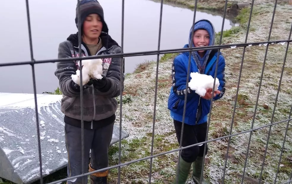
RIO DE JANEIRO, BRAZIL – At least three cities in Rio Grande do Sul recorded snow and frozen rain early on Thursday afternoon, August 20th. According to SOMAR Meteorology, in São Francisco de Paula, in the Rio Grande do Sul mountain range, there were snow and freezing rain simultaneously.
In Nova Petrópolis and São José dos Ausentes, residents reported freezing rain.
Cláudio Júnior, who has lived in São Francisco de Paula for 33 years, says that he has witnessed snowfall there approximately ten times. The largest event occurred in 1992, according to him, when sidewalks and roofs were covered with snow.
This time it was not long-lasting, between ten to 15 minutes, at about 3.30 PM, but it would hit the ground and then melt. However, his expectation did not wane. He hopes that if the temperature drops further and humidity is maintained, he will be able to witness a more heavy snowfall.

“There was a drizzle first, then freezing rain, which here they call ‘carolinho’. Then came the ‘capucho’, the true snowflake, which is lighter and falls more slowly. There was no accumulation. The temperature is still high. I believe that by late afternoon if the humidity persists, it should snow,” he said.
Below are the lowest temperatures recorded by the INMET Station in Rio Grande do Sul at 2 PM on Thursday, August 20th:
- São José dos Ausentes: 3.4°C
- Canela: 3.6°C
- Cambará do Sul: 4.6°C
- Bento Gonçalves: 5.4°C
- Vacaria: 7.3°C
According to Cátia Valente, a meteorologist at SOMAR, there are cases where both phenomena occur concurrently. According to her, the freezing rain occurs when the rainwater reaches its freezing point when it comes into contact with the surface.
On the other hand, snow is rainfall that occurs in the form of flakes formed from ice crystals – that is, water falling in a solid state. These ice crystals usually form in clouds where temperatures fall below -20ºC, but only come as snow if the vertical air column is entirely cold, unlike frozen or freezing rain, where the center of the air column may have a higher temperature.
Chance of snow in other mountain cities
At the tops of the Rio Grande do Sul mountain range, snow could still fall between Thursday and Friday, August 21st. The next dawn will see unstable weather in the mountains.
According to SOMAR, clouds are still present after a cold front has passed, and the polar air is advancing, so there is a chance of snow in the mountain areas during the early morning and even in the morning.
Check out the overnight low temperature forecast in some mountain cities:
- Cambará do Sul: -2ºC / 9ºC
- Encruzilhada do Sul: 1ºC / 15ºC
- São José dos Ausentes: -4ºC / 6ºC
- Bom Jesus: -3ºC / 8ºC
- Caxias do Sul: 1ºC / 10ºC
- Bento Gonçalves: 1ºC / 11ºC
- Vacaria: -3ºC / 8ºC
- Gramado: 0ºC / 8ºC
- Canela: 0ºC / 8ºC
Source: G1

