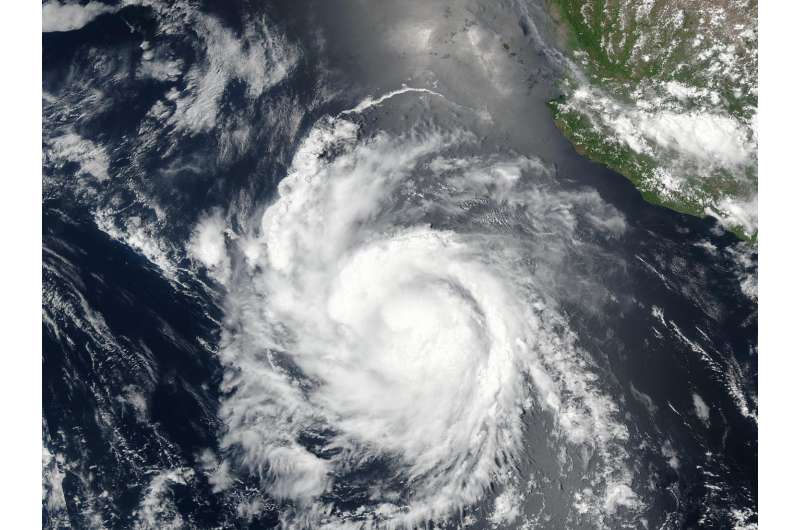
The storm Hilary has strengthened into a category 1 hurricane in the Mexican Pacific, anticipated to bring intense rainfall.
Originating as a tropical storm, it was positioned 515 kilometers south-southwest of Manzanillo, Colima, and 520 kilometers southwest of Punta San Telmo, Michoacán, at the time of its upgrade, as reported by Mexico’s National Meteorological Service (SMN).
The U.S. National Hurricane Center confirms its evolution from storm to hurricane, suggesting it will likely weaken substantially before affecting Southern California and southwestern areas.

However, significant rain and potential flooding are expected. Daniel Swain, a scientist from the University of California in Los Angeles, mentioned that some of California’s driest regions could experience a multi-year amount of rainfall.
According to the SMN, Hilary is moving west-northwest at 20 kilometers per hour, exhibiting sustained winds of 120 kilometers per hour, with bursts reaching up to 150 kilometers per hour.
It’s projected to make landfall on Monday in Baja California as a tropical storm.
The SMN anticipates heavy rain in regions of Nayarit, Jalisco, Colima, Michoacán, and Guerrero.
Stronger rainfall is also forecasted for Guanajuato, State of Mexico, Mexico City, and Morelos. Wind gusts and heightened wave activity are expected across various regions.
Hilary is the eighth named cyclone of the current Pacific hurricane season.
In early May, Mexico’s government estimated up to 38 named cyclones for the 2023 season, with five potentially impacting Mexico.

