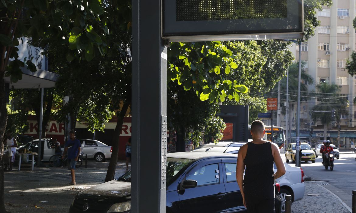
Rio de Janeiro registered temperature records last Saturday (4), with 41.1°C, at 3:45 pm, in Santa Cruz, in the west zone of the capital, and a thermal sensation of 58°C, at 3 pm, in the same neighborhood.
The thermal sensation was the highest since 2009 when the measurement began to be made by Alerta Rio.
The agency was created on September 25, 1996, and is managed by the GEO-Rio Foundation, based at the Rio Operations Center.
Meteorologist Cristiane Nascimento from Alerta Rio explained that thermal sensation is a variable that quantifies the temperature the human body feels in a generalized way.
“It is not a real variable. An empirical formula calculates it, that is, through observations. Measurements of meteorological variables calculate the thermal sensation published and recorded by meteorological agencies.”
This means that the actual thermal sensation varies from person to person.
During the night of this Sunday (5), due to areas of instability associated with heat and high humidity, the forecast remains for isolated and rapid rain showers.
The numerical weather forecast models indicate an average of 5 mm of rain in the period, informed Alert Rio through its press office.
At this moment, it is already raining in some areas of Rio.
The winds are weak to moderate, and temperatures remain stable, with a minimum of 22°C and a maximum of 38°C.
Today (6) and Tuesday (7), the weather in the city of Rio will continue to be influenced by areas of instability.
The forecast is for isolated rain showers on Monday afternoon, evening, and any time on Tuesday.
The numerical weather forecast models indicate average rainfall of up to 15 mm on Monday and 20 mm on Tuesday.
On Wednesday (8), according to Alerta Rio, the weather in Rio de Janeiro will be influenced mainly by moist winds from the sea.
The forecast is for light to moderate rain at any time.
The numerical weather forecast models indicate average rainfall of 15 mm.
On Thursday (9), the forecast is for light to moderate rain in the afternoon and evening.
HIGHER TEMPERATURES
According to Alerta Rio, the highest summer temperatures were 41.1 degrees, recorded on Saturday 4; 40.3 degrees on January 15; and 39.6 degrees on January 31.
The highest summer temperature sensations observed in the Alert Rio stations occurred on Saturday (4), with 58 degrees; on January 15 (54 degrees); and on January 14 (51.1 degrees).
In case of rain, Alert Rio recommends that people:
- stay in a safe place and avoid flooded areas;
- don’t walk in flooded areas because there is the risk of currents and injuries with objects, falling into holes under the water, besides the risk of diseases;
- don’t stay near the edge of streams and rivers;
- never force cars to pass through flooded roads;
- stay away from trees, open lands, and metal roofs, besides precipices, slopes, and high places without protection;
- avoid driving under electrical cables, billboards, scaffolding, and ladders;
- don’t stay in pools, rivers, and lakes;
- avoid practicing sports outdoors, especially at sea;
- close windows, flaps, and doors to avoid wind channeling inside your home;
- close blinds, curtains, or blackout blinds to prevent shrapnel from spreading in case a window breaks;
- be alert if there is a power outage to prevent the use of candles to start fires;
- and don’t park near transmission towers and advertising signs.
With information from Agëncia Brasil