RIO DE JANEIRO, BRAZIL – Around 876.5 square kilometers (km²) of the Legal Amazon were under deforestation alert in October, revealed data from the Deter-B system of the federal government’s Space Research Institute (Inpe), released this Friday (12). The amount is twice the area of the “Plano Piloto” – the airplane-shaped central administrative area of Brasília, in the Federal District, which has a total area of 437.20 km².
This is the largest area for the month since the beginning of the records of the system, which began in 2015. Deforestation advanced 5% compared to October last year when the area under alert was 835 km².
Yearly deforestation warnings in the Legal Amazon:
October 2015: 536.35 km²
October 2016: 749.78 km²
October 2017: 439.52 km²
October 2018: 526.16 km²
October 2019: 555.27 km²
October 2020: 835.72 km²
October 2021: 876.56 km²
“While the federal government tries to sell Brazil as a green power at COP26, the truth is that deforestation in October hit another record and has been driven by the anti-environmental policies of the president and the Ministry of Environment, with support from part of the national Congress,” says Rômulo Batista, spokesperson for Greenpeace’s Amazon campaign.
“Signing or endorsing the various plans and agreements does not change the reality of the forest floor,” Batista adds.
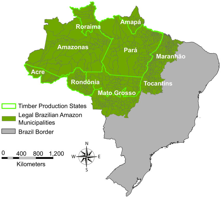
The Legal Amazon has an area of 5,015,067.75 km², corresponding to 58.9% of the Brazilian territory. The region is made up of 772 municipalities distributed over nine states: Rondônia, Acre, Amazonas, Roraima, Pará, Amapá, Tocantins, Mato Grosso and Maranhão.
The deforestation alerts in October 2021 were concentrated in Pará 501 km² (57% of the total), Amazonas 116 km² (13% of the total), and Mato Grosso 105 km² (12% of the total).