RIO DE JANEIRO, BRAZIL – Using services like Google Maps in urban areas is routine for many people. But there are a large number of people living in rural areas whose roads have no standard name or address.
For those living in such regions in the state of São Paulo, there is good news: Google will digitize these areas in partnership with the state government.
The cooperation was announced this week by the São Paulo government as part of the Rural Routes program. It is estimated that more than two million people in the state live in rural areas without addresses.
In government records, 340,000 rural properties in the state do not have addresses, and more than 60,000 roads or streets are not mapped in these regions.
As a result, residents in these areas do not have adequate access to delivery services, telecommunications or public safety, so Google will digitally map these areas based on Plus Codes. This type of technology relies on latitude and longitude coordinates to identify areas anywhere in the world with a shortcode.
For this reason, Plus Codes are increasingly used to identify locations with no address.
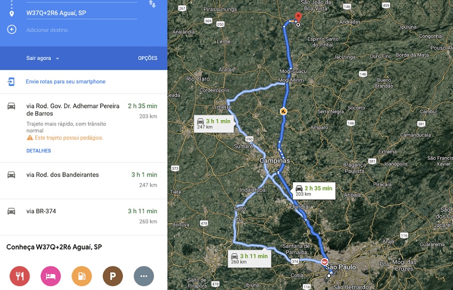
Therefore, instead of typing something in the “street name, number, city” format into Google Maps, a code like “M4H4+65, São Paulo” is used – the sequence of characters corresponds to the Plus Code.
This is an open-source technology and, therefore, can be implemented in any map service, including for offline use. As the codes do not change, a resident can even use the plus code of his property on physical plates or business cards, for instance.
Mapping programs based on Plus Codes already exist in India, the United States, Africa, and several other locations. In addition to allowing farms to be easily found on services such as Google Maps, the digital mapping should ease business operations and access to public services.
The mapping work will be carried out over the next few months. The São Paulo government expects that, in six months, the project will have already formed an extensive database on the location of rural areas.
There are also plans to take the project to unmapped communities in urban areas.